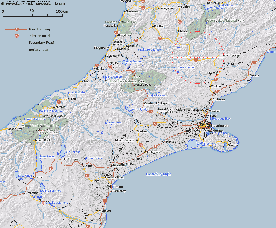
Map showing location of Hoff Stream
LINZ description: Right bank tributary of Waiau River, rising on the northern slopes of Horseshoe Hill [Trig. Y (Geodetic Code A8BG)], flowing eastward, and joining Waiau River 5.2km upstream of the Hope/ Waiau River junction. Block VIII Skiddaw, and Block V Tekoa Survey Districts.
Latitude: -42.554201
Longitude: 172.525846
Northing: 5288579.6
Easting: 1561074.3
Land District: Canterbury
Feat Type: Stream
Latitude: -42.554201
Longitude: 172.525846
Northing: 5288579.6
Easting: 1561074.3
Land District: Canterbury
Feat Type: Stream

Scroll down to see a more detailed road map and below that a topographical map showing the location of Hoff Stream. The road map has been supplied by openstreetmap and the topographical map of Hoff Stream has been supplied by Land Information New Zealand (LINZ).
Yes you can use the top static map for you school/university project or personal website with a link back. Contact me for any commercial use.
[ A ] [ B ] [ C ] [ D ] [ E ] [ F ] [ G ] [ H ] [ I ] [ J ] [ K ] [ L ] [ M ] [ N ] [ O ] [ P ] [ Q ] [ R ] [ S ] [ T ] [ U ] [ V ] [ W ] [ X ] [ Y ] [ Z ]