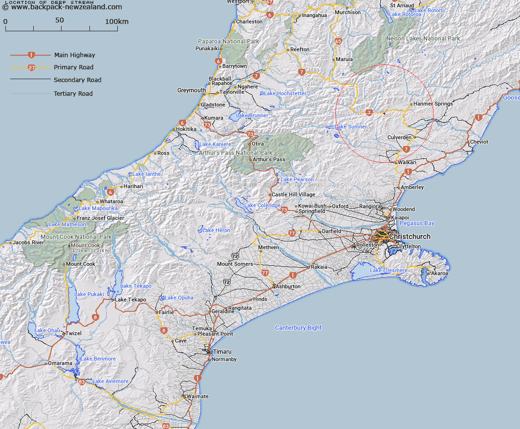
Map showing location of Deep Stream
LINZ description: Right bank tributary of the Waiau River, rising in the Organ Range 1.8km West South-west of Shale Peak [Trig. J (Geodetic Code A8CC)], flowing northward, and joining Waiau River 1.2km West of Trig. 5411 (Geodetic Code A8BJ). Blocks VI and X Tekoa Survey District. Feature shown on: NZMS260 M32 Edition 1 1989 Reprinted 1995
Latitude: -42.594175
Longitude: 172.620228
Northing: 5284179.9
Easting: 1568842.4
Land District: Canterbury
Feat Type: Stream
Latitude: -42.594175
Longitude: 172.620228
Northing: 5284179.9
Easting: 1568842.4
Land District: Canterbury
Feat Type: Stream

Scroll down to see a more detailed road map and below that a topographical map showing the location of Deep Stream. The road map has been supplied by openstreetmap and the topographical map of Deep Stream has been supplied by Land Information New Zealand (LINZ).
Yes you can use the top static map for you school/university project or personal website with a link back. Contact me for any commercial use.
[ A ] [ B ] [ C ] [ D ] [ E ] [ F ] [ G ] [ H ] [ I ] [ J ] [ K ] [ L ] [ M ] [ N ] [ O ] [ P ] [ Q ] [ R ] [ S ] [ T ] [ U ] [ V ] [ W ] [ X ] [ Y ] [ Z ]