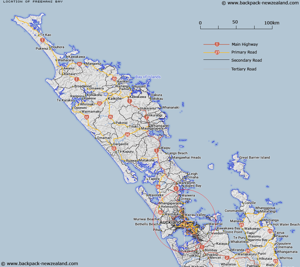
Map showing location of Freemans Bay


LINZ description: Feature shown on: NZMS260 R11
Latitude: -36.84
Longitude: 174.758333
Northing: 5921434
Easting: 1756783.8
Land District: North Auckland
Feat Type: Bay


Scroll down to see a more detailed road map and below that a topographical map showing the location of Freemans Bay. The road map has been supplied by openstreetmap and the topographical map of Freemans Bay has been supplied by Land Information New Zealand (LINZ).

Yes you can use the top static map for you school/university project or personal website with a link back. Contact me for any commercial use.
Freemans Bay Map New Zealand


New Zealand places in our database
[ A ] [ B ] [ C ] [ D ] [ E ] [ F ] [ G ] [ H ] [ I ] [ J ] [ K ] [ L ] [ M ] [ N ] [ O ] [ P ] [ Q ] [ R ] [ S ] [ T ] [ U ] [ V ] [ W ] [ X ] [ Y ] [ Z ]


Closest 20 Bays to Freemans Bay

Freemans Bay ( 0km )   Saint Marys Bay ( 1.18km )   Westhaven ( 1.29km )   Stanley Bay ( 2.13km )   Ngataringa Bay ( 2.6km )   Little Shoal Bay ( 2.68km )   Home Bay ( 2.72km )   Judges Bay ( 2.94km )   Herne Bay ( 3.18km )   Shoal Bay ( 3.2km )   Chelsea Bay ( 3.59km )   Coxs Bay ( 3.66km )   Hobson Bay ( 3.78km )   Torpedo Bay ( 4.46km )   Whakatakataka Bay ( 4.72km )   Okahu Bay ( 4.98km )   Kendall Bay ( 5.29km )   Orakei Basin ( 5.57km )   Onetaunga Bay ( 5.81km )   Fitzpatrick Bay ( 6.2km )   Mission Bay ( 6.38km )   Soldiers Bay ( 6.84km )   Thorne Bay ( 7.29km )   Island Bay ( 7.44km )   Charcoal Bay ( 8.08km )   Coast Guard Bay ( 8.31km )   Saint Heliers Bay ( 8.55km )   Brickbat Bay ( 8.68km )   Ladies Bay ( 8.69km )   McKenzie Bay ( 8.73km )   Castor Bay ( 8.91km )   Nimrod Inlet ( 9km )   Bomb Bay ( 9.09km )   Tahingamanu Bay ( 9.09km )   Sunset Bay ( 9.26km )   Catalina Bay ( 9.3km )   Hillsborough Bay ( 9.85km )   Sunderland Cove ( 9.88km )   Grannys Bay ( 10.19km )   Campbells Bay ( 10.48km )