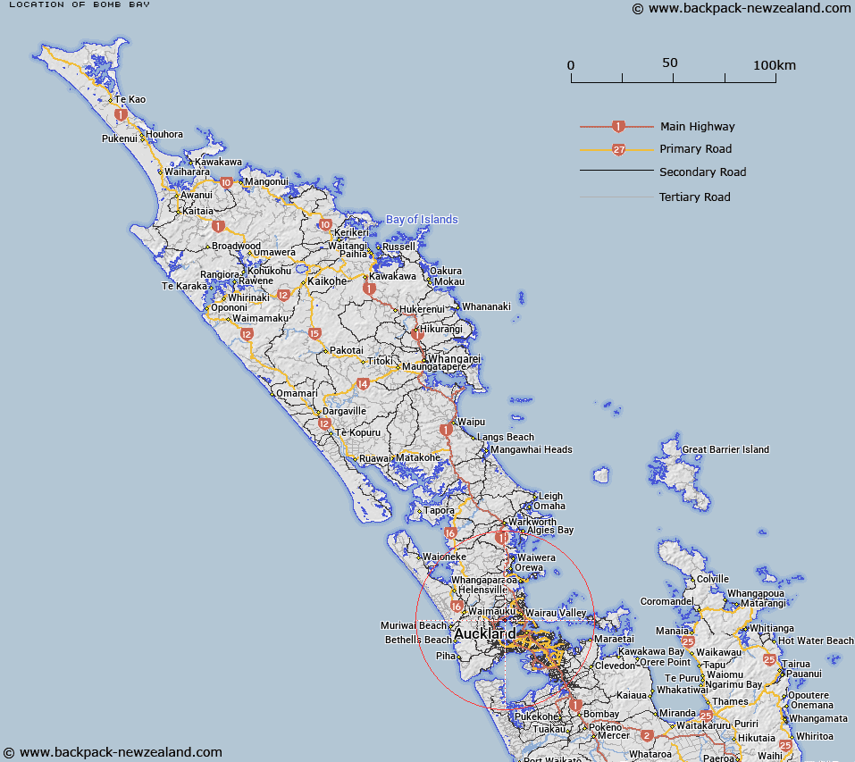
Map showing location of Bomb Bay
LINZ description: A small bay at the northwestern reaches of Waitemata Harbour on the eastern shores of Hobsonville (locality). Feature shown on: NZMS260 R11; NZTopo50-BA31 490263
Latitude: -36.797778
Longitude: 174.670944
Northing: 5926258.1
Easting: 1749072.9
Land District: North Auckland
Feat Type: Bay
Latitude: -36.797778
Longitude: 174.670944
Northing: 5926258.1
Easting: 1749072.9
Land District: North Auckland
Feat Type: Bay

Scroll down to see a more detailed road map and below that a topographical map showing the location of Bomb Bay. The road map has been supplied by openstreetmap and the topographical map of Bomb Bay has been supplied by Land Information New Zealand (LINZ).
Yes you can use the top static map for you school/university project or personal website with a link back. Contact me for any commercial use.
[ A ] [ B ] [ C ] [ D ] [ E ] [ F ] [ G ] [ H ] [ I ] [ J ] [ K ] [ L ] [ M ] [ N ] [ O ] [ P ] [ Q ] [ R ] [ S ] [ T ] [ U ] [ V ] [ W ] [ X ] [ Y ] [ Z ]