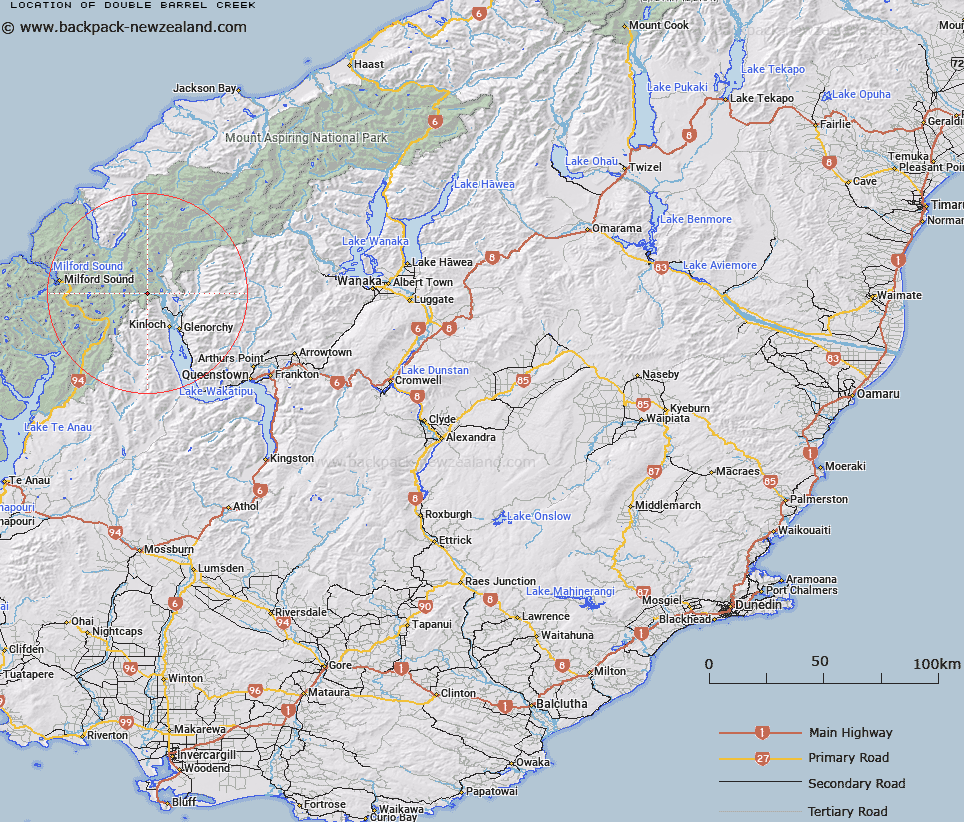
Map showing location of Double Barrel Creek


LINZ description: Creek in the Humboldt Mountains and is a tributary of Route Burn, north west of Kinloch.
Latitude: -44.72071
Longitude: 168.265971
Northing: 5037163
Easting: 1225073.5
Land District: Otago
Feat Type: Stream


Scroll down to see a more detailed road map and below that a topographical map showing the location of Double Barrel Creek. The road map has been supplied by openstreetmap and the topographical map of Double Barrel Creek has been supplied by Land Information New Zealand (LINZ).

Yes you can use the top static map for you school/university project or personal website with a link back. Contact me for any commercial use.

Double Barrel Creek Map New Zealand


New Zealand places in our database
[ A ] [ B ] [ C ] [ D ] [ E ] [ F ] [ G ] [ H ] [ I ] [ J ] [ K ] [ L ] [ M ] [ N ] [ O ] [ P ] [ Q ] [ R ] [ S ] [ T ] [ U ] [ V ] [ W ] [ X ] [ Y ] [ Z ]


Closest 20 Streams to Double Barrel Creek

Route Burn ( 0.48km )   Sugar Loaf Stream ( 1.77km )   Scott Creek ( 5.34km )   Route Burn Left Branch ( 5.59km )   Route Burn North Branch ( 5.94km )   Stockyard Creek ( 7.32km )   Rock Burn ( 7.52km )   Dundas Creek ( 8.22km )   Dart River ( 8.36km )   Dart River/Te Awa Whakatipu ( 8.36km )   Kowhai Creek ( 8.71km )   High Falls Creek ( 9.45km )   Humboldt Creek ( 9.45km )   River Jordan ( 9.5km )   Potters Creek ( 10km )   Turner Creek ( 10.15km )   Fraser Creek ( 10.35km )   Roaring Creek ( 10.63km )   Kay Creek ( 10.66km )   Eel Creek ( 11.33km )   Diamond Creek ( 11.51km )   Swamp Creek ( 12.09km )   Glacier Burn ( 12.46km )   Earnslaw Burn ( 12.55km )   Sunny Creek ( 13.13km )   Moraine Creek ( 13.35km )   Caples Creek ( 13.74km )   Gilkison Stream ( 13.96km )   Pass Creek ( 14.18km )   Gorge Creek ( 14.39km )   Hidden Falls Creek ( 14.48km )   Chasm Creek ( 14.64km )   Davidsons Creek ( 14.69km )   Caples River ( 14.83km )   Bedford Stream ( 15.23km )   Mick Creek ( 15.67km )   Divide Creek ( 15.7km )   Cleft Creek ( 15.76km )   Tutoko Creek ( 15.76km )   Slip Stream ( 15.78km )