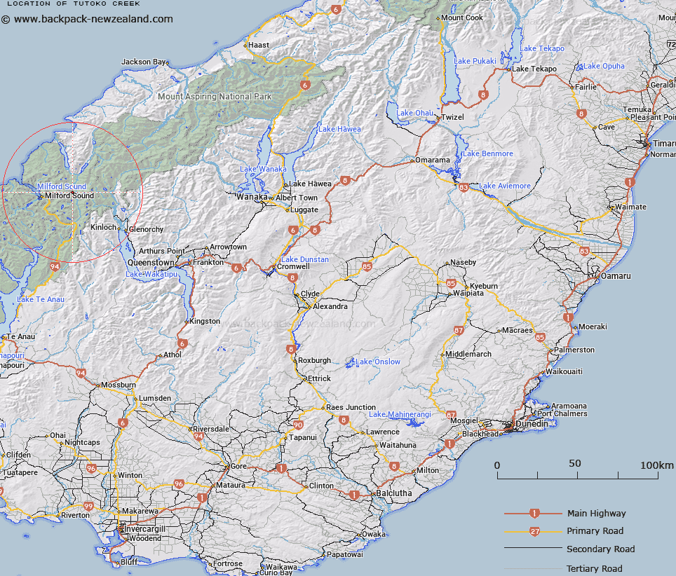
Map showing location of Tutoko Creek


LINZ description: Flows from Lake Turner into Hollyford River. Caples Survey District.
Latitude: -44.649014
Longitude: 168.093964
Northing: 5044319.1
Easting: 1210969.8
Land District: Otago
Feat Type: Stream


Scroll down to see a more detailed road map and below that a topographical map showing the location of Tutoko Creek. The road map has been supplied by openstreetmap and the topographical map of Tutoko Creek has been supplied by Land Information New Zealand (LINZ).

Yes you can use the top static map for you school/university project or personal website with a link back. Contact me for any commercial use.

Tutoko Creek Map New Zealand


New Zealand places in our database
[ A ] [ B ] [ C ] [ D ] [ E ] [ F ] [ G ] [ H ] [ I ] [ J ] [ K ] [ L ] [ M ] [ N ] [ O ] [ P ] [ Q ] [ R ] [ S ] [ T ] [ U ] [ V ] [ W ] [ X ] [ Y ] [ Z ]


Closest 20 Streams to Tutoko Creek

Chasm Creek ( 1.89km )   Swamp Creek ( 3.79km )   Madeline Creek ( 3.94km )   Hidden Falls Creek ( 4.43km )   Eel Creek ( 4.64km )   Glacier Creek ( 5.63km )   Hollyford River/Whakatipu K? Tuka ( 5.65km )   Hollyford River ( 5.65km )   Moraine Creek ( 6.41km )   Humboldt Creek ( 6.74km )   High Falls Creek ( 6.74km )   Leader Creek ( 8.47km )   Rainbow Creek ( 8.93km )   Donne River ( 9.54km )   Tutoko River ( 9.77km )   Route Burn North Branch ( 9.92km )   Caples Creek ( 10.17km )   Gifford Gap ( 10.84km )   Gifford Crack ( 10.84km )   Gulliver River ( 10.96km )   Chair Creek ( 11.43km )   Stickup Creek ( 11.68km )   Route Burn Left Branch ( 11.79km )   Esperance River ( 12.48km )   Bowen River ( 12.59km )   Rock Burn ( 12.61km )   Potters Creek ( 12.65km )   Grebe Creek ( 12.71km )   Cleddau River ( 13.18km )   Slip Creek ( 13.53km )   Light-finger Creek ( 14.12km )   The Chasm ( 14.21km )   Selwyn Creek ( 14.4km )   Swan Creek ( 14.65km )   Roaring Creek ( 14.86km )   Homers River ( 14.88km )   Cleddau River North Branch ( 15.14km )   Cleddau River South Branch ( 15.15km )   Route Burn ( 15.64km )   Sugar Loaf Stream ( 15.68km )