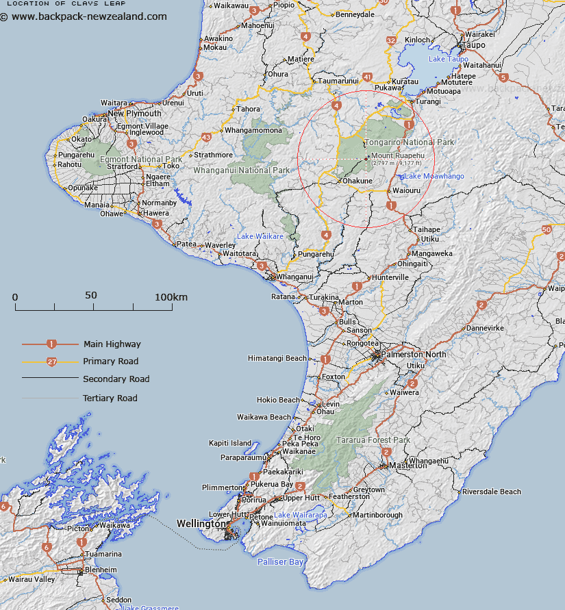
Map showing location of Clays Leap
LINZ description: Part of the Turoa Skifield in between Jumbo T Bar and High Noon T Bar.
Latitude: -39.294596
Longitude: 175.550291
Northing: 5647430
Easting: 1819930
Land District: Wellington
Feat Type: Recreation
Latitude: -39.294596
Longitude: 175.550291
Northing: 5647430
Easting: 1819930
Land District: Wellington
Feat Type: Recreation

Scroll down to see a more detailed road map and below that a topographical map showing the location of Clays Leap. The road map has been supplied by openstreetmap and the topographical map of Clays Leap has been supplied by Land Information New Zealand (LINZ).
Yes you can use the top static map for you school/university project or personal website with a link back. Contact me for any commercial use.
[ A ] [ B ] [ C ] [ D ] [ E ] [ F ] [ G ] [ H ] [ I ] [ J ] [ K ] [ L ] [ M ] [ N ] [ O ] [ P ] [ Q ] [ R ] [ S ] [ T ] [ U ] [ V ] [ W ] [ X ] [ Y ] [ Z ]