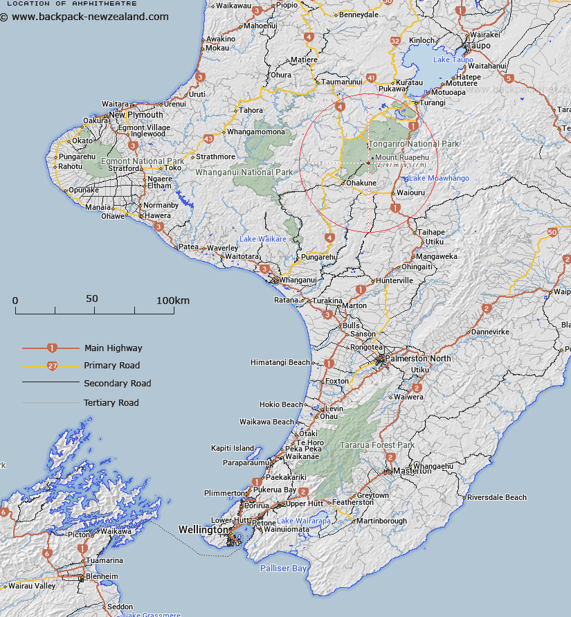
Map showing location of Amphitheatre
LINZ description: Part of the Turoa Skifield east of the Winter Garden.
Latitude: -39.304953
Longitude: 175.541715
Northing: 5646301.2
Easting: 1819158
Land District: Wellington
Feat Type: Recreation
Latitude: -39.304953
Longitude: 175.541715
Northing: 5646301.2
Easting: 1819158
Land District: Wellington
Feat Type: Recreation

Scroll down to see a more detailed road map and below that a topographical map showing the location of Amphitheatre. The road map has been supplied by openstreetmap and the topographical map of Amphitheatre has been supplied by Land Information New Zealand (LINZ).
Yes you can use the top static map for you school/university project or personal website with a link back. Contact me for any commercial use.
[ A ] [ B ] [ C ] [ D ] [ E ] [ F ] [ G ] [ H ] [ I ] [ J ] [ K ] [ L ] [ M ] [ N ] [ O ] [ P ] [ Q ] [ R ] [ S ] [ T ] [ U ] [ V ] [ W ] [ X ] [ Y ] [ Z ]