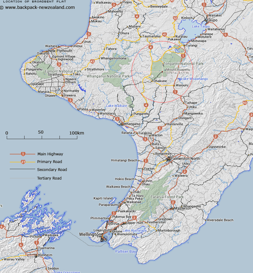
Map showing location of Broadbent Flat
LINZ description: Part of the Turoa Skifield just south of Sunset Ridge.
Latitude: -39.301389
Longitude: 175.531397
Northing: 5646721.8
Easting: 1818279.3
Land District: Wellington
Feat Type: Recreation
Latitude: -39.301389
Longitude: 175.531397
Northing: 5646721.8
Easting: 1818279.3
Land District: Wellington
Feat Type: Recreation

Scroll down to see a more detailed road map and below that a topographical map showing the location of Broadbent Flat. The road map has been supplied by openstreetmap and the topographical map of Broadbent Flat has been supplied by Land Information New Zealand (LINZ).
Yes you can use the top static map for you school/university project or personal website with a link back. Contact me for any commercial use.
[ A ] [ B ] [ C ] [ D ] [ E ] [ F ] [ G ] [ H ] [ I ] [ J ] [ K ] [ L ] [ M ] [ N ] [ O ] [ P ] [ Q ] [ R ] [ S ] [ T ] [ U ] [ V ] [ W ] [ X ] [ Y ] [ Z ]