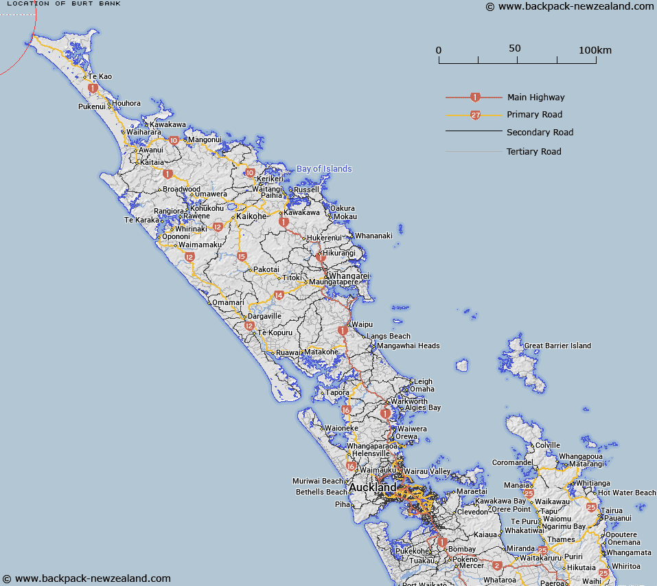
Map showing location of Burt Bank


LINZ description: A bank with shoals to 82m in the Johnson Trough, between Three Kings Islands and Cape Reinga.
Latitude: -34.316667
Longitude: 172.316667
Northing: 6202520.4
Easting: 1537130.2
Land District: North Auckland
Feat Type: Bank


Scroll down to see a more detailed road map and below that a topographical map showing the location of Burt Bank. The road map has been supplied by openstreetmap and the topographical map of Burt Bank has been supplied by Land Information New Zealand (LINZ).

Yes you can use the top static map for you school/university project or personal website with a link back. Contact me for any commercial use.

Burt Bank Map New Zealand


New Zealand places in our database
[ A ] [ B ] [ C ] [ D ] [ E ] [ F ] [ G ] [ H ] [ I ] [ J ] [ K ] [ L ] [ M ] [ N ] [ O ] [ P ] [ Q ] [ R ] [ S ] [ T ] [ U ] [ V ] [ W ] [ X ] [ Y ] [ Z ]


Closest 20 Banks to Burt Bank

Burt Bank ( 0km )   Munro Bank ( 25.97km )   Columbia Bank / Te Nuku-o-Mourea ( 33.6km )   Columbia Reef ( 33.6km )   Columbia Bank ( 33.6km )   Pandora Bank ( 34.53km )   Ahiaruhe Shell Bank ( 63.27km )   North Ahipara Bank ( 96.61km )   Ahipara Banks ( 101.14km )   South Ahipara Bank ( 106.07km )   Onoke Bank ( 159.64km )   Middle Bank ( 164.04km )   Brampton Bank ( 191.95km )   Snake Bank ( 256.53km )   McDonald Bank ( 257.35km )   Mair Bank ( 261.78km )   Calliope Bank ( 262.33km )   Middle Bank ( 278.59km )   Lady Franklin Bank ( 284.26km )   Tapora Bank ( 291.87km )   Kakaraia Flats ( 301.74km )   Omokoiti Flats ( 304.11km )   Kaipara Flats ( 305.5km )   Duder Spit ( 355.9km )   North Bank ( 361.05km )   Motukaraka Bank ( 361.89km )   South Bank ( 364.08km )   Te Tau Bank ( 364.17km )   Huia Bank ( 364.23km )   Karore Bank ( 366.71km )   Hangore Bank ( 373.47km )   Poutawa Bank ( 377.84km )   Hikihiki Bank ( 379.2km )   Raglan Bar ( 448.73km )   Matakana Bank ( 503.49km )   Centre Bank ( 507.21km )   Te Arawa High ( 558.72km )   Otutere Bank ( 600.94km )   Patea Banks ( 634.45km )   North Trap ( 645.7km )