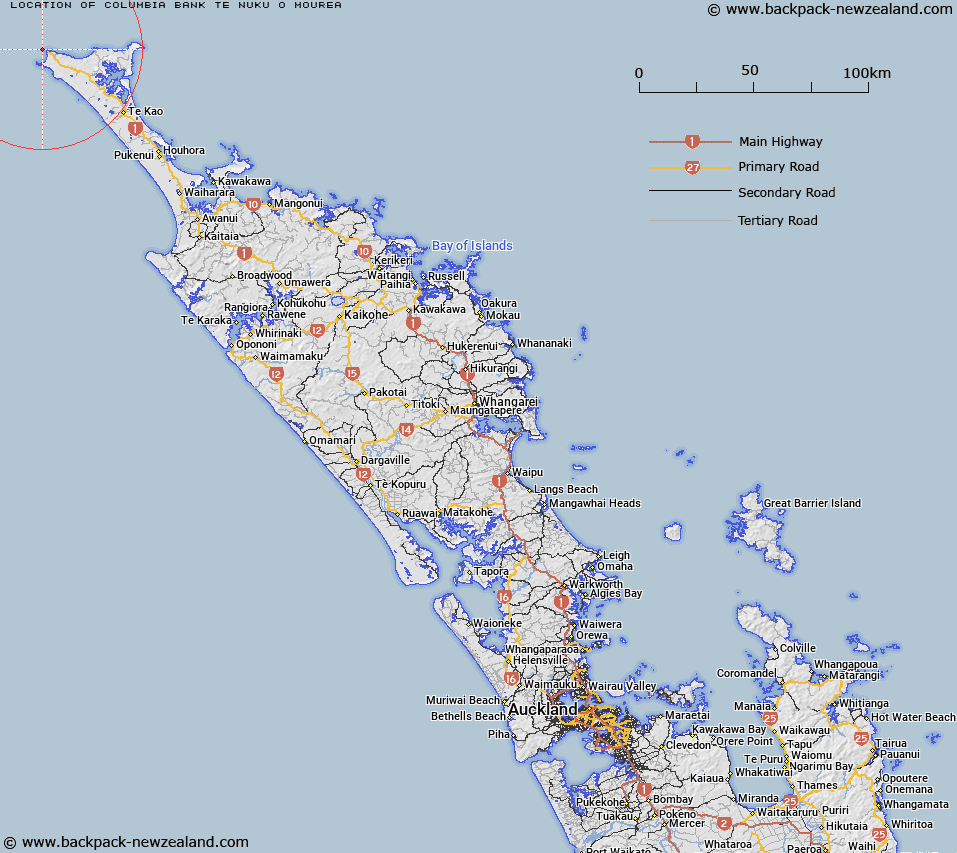
Map showing location of Columbia Bank / Te Nuku-o-Mourea


LINZ description: An undersea shallow bank, north-west aligned and approximately 1km west of Cape Reinga / Te Rerenga Wairua. It rises from 70m deep cresting at 30m deep. NZTopo50-AT24 689913
Latitude: -34.419964
Longitude: 172.660645
Northing: 6191225.4
Easting: 1568816.3
Land District: North Auckland
Feat Type: Bank


Scroll down to see a more detailed road map and below that a topographical map showing the location of Columbia Bank / Te Nuku-o-Mourea. The road map has been supplied by openstreetmap and the topographical map of Columbia Bank / Te Nuku-o-Mourea has been supplied by Land Information New Zealand (LINZ).

Yes you can use the top static map for you school/university project or personal website with a link back. Contact me for any commercial use.

Columbia Bank / Te Nuku-o-Mourea Map New Zealand


New Zealand places in our database
[ A ] [ B ] [ C ] [ D ] [ E ] [ F ] [ G ] [ H ] [ I ] [ J ] [ K ] [ L ] [ M ] [ N ] [ O ] [ P ] [ Q ] [ R ] [ S ] [ T ] [ U ] [ V ] [ W ] [ X ] [ Y ] [ Z ]


Closest 20 Banks to Columbia Bank / Te Nuku-o-Mourea

Pandora Bank ( 16.2km )   Ahiaruhe Shell Bank ( 29.76km )   Burt Bank ( 33.6km )   Munro Bank ( 58.57km )   North Ahipara Bank ( 72.95km )   Ahipara Banks ( 77.81km )   South Ahipara Bank ( 83.12km )   Onoke Bank ( 132.05km )   Middle Bank ( 137.47km )   Brampton Bank ( 159.38km )   Snake Bank ( 225.46km )   McDonald Bank ( 226.19km )   Mair Bank ( 230.73km )   Calliope Bank ( 231.19km )   Middle Bank ( 250.91km )   Lady Franklin Bank ( 256.86km )   Tapora Bank ( 264.28km )   Kakaraia Flats ( 273.83km )   Omokoiti Flats ( 276.8km )   Kaipara Flats ( 277.75km )   Duder Spit ( 327.62km )   Motukaraka Bank ( 334.7km )   North Bank ( 335.18km )   Te Tau Bank ( 337.23km )   Huia Bank ( 337.76km )   South Bank ( 338.26km )   Karore Bank ( 339.87km )   Hangore Bank ( 346.64km )   Poutawa Bank ( 350.98km )   Hikihiki Bank ( 351.91km )   Raglan Bar ( 423.7km )   Matakana Bank ( 474.01km )   Centre Bank ( 477.79km )   Te Arawa High ( 527.16km )   Otutere Bank ( 574.68km )   Patea Banks ( 615.23km )   North Trap ( 626.03km )   South Trap ( 628.33km )   Graham Bank ( 629.9km )   Kuri Banks ( 677.76km )