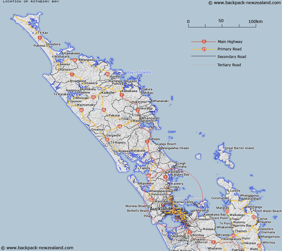
Map showing location of Rothesay Bay


LINZ description: Feature shown on: NZMS 271 North Shore 1985
Latitude: -36.722712
Longitude: 174.753428
Northing: 5934454.5
Easting: 1756584.9
Land District: North Auckland
Feat Type: Bay


Scroll down to see a more detailed road map and below that a topographical map showing the location of Rothesay Bay. The road map has been supplied by openstreetmap and the topographical map of Rothesay Bay has been supplied by Land Information New Zealand (LINZ).

Yes you can use the top static map for you school/university project or personal website with a link back. Contact me for any commercial use.
Rothesay Bay Map New Zealand


New Zealand places in our database
[ A ] [ B ] [ C ] [ D ] [ E ] [ F ] [ G ] [ H ] [ I ] [ J ] [ K ] [ L ] [ M ] [ N ] [ O ] [ P ] [ Q ] [ R ] [ S ] [ T ] [ U ] [ V ] [ W ] [ X ] [ Y ] [ Z ]


Closest 20 Bays to Rothesay Bay

Murrays Bay ( 0.96km )   Mairangi Bay ( 1.61km )   Torbay ( 1.76km )   Winstones Cove ( 2.65km )   Campbells Bay ( 2.74km )   Castor Bay ( 4.41km )   Long Bay ( 4.6km )   Thorne Bay ( 6.44km )   Karepiro Bay ( 7.68km )   McKenzie Bay ( 8.85km )   Arkles Bay ( 8.92km )   Shoal Bay ( 9.89km )   Sunset Bay ( 9.96km )   Coast Guard Bay ( 10.34km )   Sunderland Cove ( 10.38km )   Catalina Bay ( 10.59km )   Matakatia Bay ( 10.79km )   Hobbs Bay ( 10.8km )   Polkinghornes Bay ( 10.94km )   Charcoal Bay ( 10.98km )   Chelsea Bay ( 11.03km )   Te Okoriki Inlet ( 11.04km )   Ngataringa Bay ( 11.05km )   Little Shoal Bay ( 11.09km )   Bomb Bay ( 11.12km )   Tahingamanu Bay ( 11.12km )   Nimrod Inlet ( 11.45km )   Island Bay ( 11.46km )   Te Turerenga Inlet ( 11.51km )   Brickbat Bay ( 11.59km )   Waiau Bay ( 11.6km )   Soldiers Bay ( 11.69km )   Fitzpatrick Bay ( 11.7km )   Wallace Inlet ( 11.75km )   Stanmore Bay ( 11.83km )   Stanley Bay ( 12.02km )   Onetaunga Bay ( 12.05km )   Kotukutuku Inlet ( 12.11km )   Boulder Bay ( 12.3km )   Waitemata Harbour ( 12.3km )