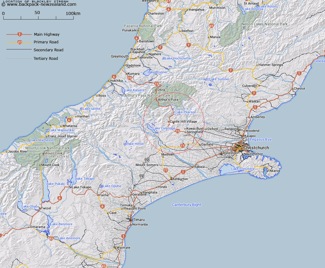
Map showing location of Blackley Stream
LINZ description: Right bank tributary of Broken River rising 800m North-east of Castle Hill Peak (Geodetic Code 1401), flowing northward and joining Broken River 4.75km North of Castle Hill Village. Block I, Kowai Survey District.
Latitude: -43.227542
Longitude: 171.781953
Northing: 5213196.4
Easting: 1501085.7
Land District: Canterbury
Feat Type: Stream
Latitude: -43.227542
Longitude: 171.781953
Northing: 5213196.4
Easting: 1501085.7
Land District: Canterbury
Feat Type: Stream

Scroll down to see a more detailed road map and below that a topographical map showing the location of Blackley Stream. The road map has been supplied by openstreetmap and the topographical map of Blackley Stream has been supplied by Land Information New Zealand (LINZ).
Yes you can use the top static map for you school/university project or personal website with a link back. Contact me for any commercial use.
[ A ] [ B ] [ C ] [ D ] [ E ] [ F ] [ G ] [ H ] [ I ] [ J ] [ K ] [ L ] [ M ] [ N ] [ O ] [ P ] [ Q ] [ R ] [ S ] [ T ] [ U ] [ V ] [ W ] [ X ] [ Y ] [ Z ]