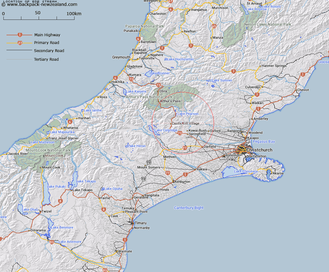
Map showing location of Ede Stream
LINZ description: Right bank tributary of Broken River rising on the northern slopes of the Torlesse Range 3km East of Bold Hill [Trig A2(Geodetic Code A9YY)], flowing northward and joining Broken River 1km North of Avoca Homestead. Block XV, Grasmere Survey District.
Latitude: -43.20568
Longitude: 171.870392
Northing: 5215725
Easting: 1508234.8
Land District: Canterbury
Feat Type: Stream
Latitude: -43.20568
Longitude: 171.870392
Northing: 5215725
Easting: 1508234.8
Land District: Canterbury
Feat Type: Stream

Scroll down to see a more detailed road map and below that a topographical map showing the location of Ede Stream. The road map has been supplied by openstreetmap and the topographical map of Ede Stream has been supplied by Land Information New Zealand (LINZ).
Yes you can use the top static map for you school/university project or personal website with a link back. Contact me for any commercial use.
[ A ] [ B ] [ C ] [ D ] [ E ] [ F ] [ G ] [ H ] [ I ] [ J ] [ K ] [ L ] [ M ] [ N ] [ O ] [ P ] [ Q ] [ R ] [ S ] [ T ] [ U ] [ V ] [ W ] [ X ] [ Y ] [ Z ]