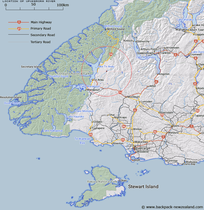
Map showing location of Upukerora River


LINZ description: Feature shown on: NZMS260 D42 Edition 1 1991
Latitude: -45.28725
Longitude: 167.936417
Northing: 4972653.5
Easting: 1202916.3
Land District: Southland
Feat Type: Stream


Scroll down to see a more detailed road map and below that a topographical map showing the location of Upukerora River. The road map has been supplied by openstreetmap and the topographical map of Upukerora River has been supplied by Land Information New Zealand (LINZ).

Yes you can use the top static map for you school/university project or personal website with a link back. Contact me for any commercial use.
Upukerora River Map New Zealand


New Zealand places in our database
[ A ] [ B ] [ C ] [ D ] [ E ] [ F ] [ G ] [ H ] [ I ] [ J ] [ K ] [ L ] [ M ] [ N ] [ O ] [ P ] [ Q ] [ R ] [ S ] [ T ] [ U ] [ V ] [ W ] [ X ] [ Y ] [ Z ]


Closest 20 Streams to Upukerora River

Fred Burn ( 8.99km )   Retford Stream ( 10.08km )   Henry Creek ( 10.64km )   Boundary Creek ( 10.68km )   Lady Burn ( 11.24km )   Whitestone River ( 11.39km )   Fifteen Mile Creek ( 11.5km )   Dunton Creek ( 11.92km )   Kiwi Burn ( 13.63km )   Ewe Burn ( 14.01km )   Wood Burn ( 15.46km )   Boyd Creek ( 16.21km )   Moat Creek ( 16.49km )   Tunnel Burn ( 17.74km )   West Burn ( 18.57km )   Eglinton River ( 18.57km )   Walker Creek ( 18.62km )   Stony Creek ( 18.69km )   Dale Creek ( 20.23km )   Takahe Stream ( 21.98km )   Wash Creek ( 22.63km )   Mackay Creek ( 23.39km )   Point Burn ( 24.29km )   Ettrick Burn ( 24.55km )   Thomas Burn ( 24.94km )   Lagoon Creek ( 25.86km )   Hidden Burn ( 26.14km )   Gorge Burn ( 26.16km )   Lake Creek ( 26.57km )   Annear Creek ( 26.67km )   Mystery Burn ( 26.77km )   Coal Creek ( 27.03km )   Windon Burn ( 27.45km )   Winton Burn ( 27.45km )   Yerex Reach ( 27.47km )   Gorge Creek ( 28km )   Tertiary Creek ( 28.24km )   Sheerwall Creek ( 28.31km )   Path Burn ( 28.39km )   Ashton Burn ( 28.4km )