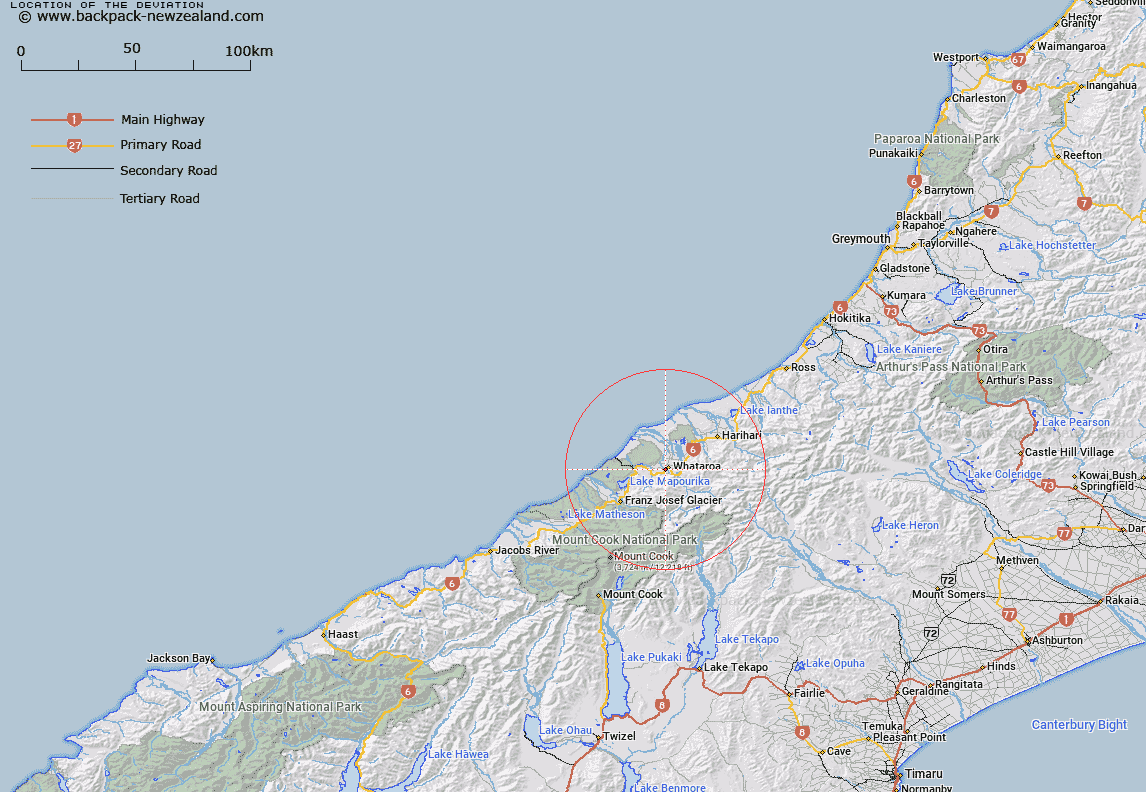
Map showing location of The Deviation
LINZ description: A small stream near Whataroa, crossing Main Highway 6, 1km South-west of Whataroa settlement, and joining an un-named tributary of Matainui Creek at Topo50 Grid Reference BW16 84506, 1.5km West South-west of Whataroa. Block XIV Whataroa Survey District.
Latitude: -43.268858
Longitude: 170.354286
Northing: 5205929.2
Easting: 1385290.1
Land District: Westland
Feat Type: Stream
Latitude: -43.268858
Longitude: 170.354286
Northing: 5205929.2
Easting: 1385290.1
Land District: Westland
Feat Type: Stream

Scroll down to see a more detailed road map and below that a topographical map showing the location of The Deviation. The road map has been supplied by openstreetmap and the topographical map of The Deviation has been supplied by Land Information New Zealand (LINZ).
Yes you can use the top static map for you school/university project or personal website with a link back. Contact me for any commercial use.
[ A ] [ B ] [ C ] [ D ] [ E ] [ F ] [ G ] [ H ] [ I ] [ J ] [ K ] [ L ] [ M ] [ N ] [ O ] [ P ] [ Q ] [ R ] [ S ] [ T ] [ U ] [ V ] [ W ] [ X ] [ Y ] [ Z ]