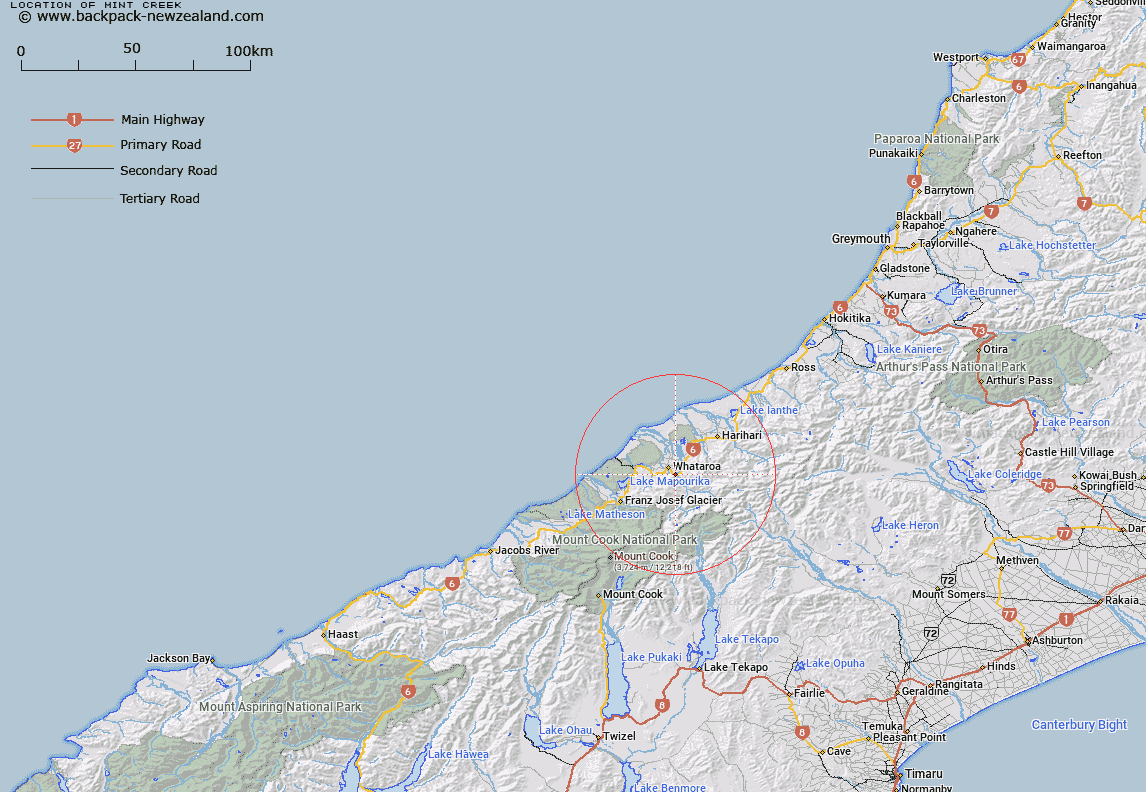
Map showing location of Mint Creek
LINZ description: Right bank tributary of Matainui Creek, rising 2.8km North-east of Mount Price [Trig. GP (Geodetic Code AA2M)], crossing Main Highway 6, 1km West of Whataroa River bridge, flowing North-westerly and joining Matainui Creek 800m South-east of the locality of Whataroa. Block III Waitangitaona, and Blocks XIV and XV Whataroa Survey Districts.
Latitude: -43.288706
Longitude: 170.390735
Northing: 5203817.9
Easting: 1388317.1
Land District: Westland
Feat Type: Stream
Latitude: -43.288706
Longitude: 170.390735
Northing: 5203817.9
Easting: 1388317.1
Land District: Westland
Feat Type: Stream

Scroll down to see a more detailed road map and below that a topographical map showing the location of Mint Creek. The road map has been supplied by openstreetmap and the topographical map of Mint Creek has been supplied by Land Information New Zealand (LINZ).
Yes you can use the top static map for you school/university project or personal website with a link back. Contact me for any commercial use.
[ A ] [ B ] [ C ] [ D ] [ E ] [ F ] [ G ] [ H ] [ I ] [ J ] [ K ] [ L ] [ M ] [ N ] [ O ] [ P ] [ Q ] [ R ] [ S ] [ T ] [ U ] [ V ] [ W ] [ X ] [ Y ] [ Z ]