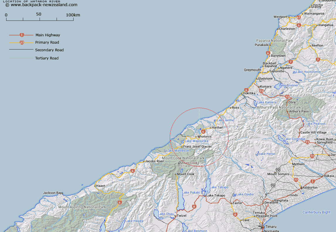
Map showing location of Wataroa River
LINZ description: River with it's source at Lake Barrowman, and the Whymper Glacier, and flowing generally northwards to the Tasman Sea, near Abut Head. Whataroa Survey District. Feature shown on Infomap 346-02 Te Wai Pounamu Edition 1 1995
Latitude: -43.266812
Longitude: 170.408177
Northing: 5206293.5
Easting: 1389656.7
Land District: Westland
Feat Type: Stream
Latitude: -43.266812
Longitude: 170.408177
Northing: 5206293.5
Easting: 1389656.7
Land District: Westland
Feat Type: Stream

Scroll down to see a more detailed road map and below that a topographical map showing the location of Wataroa River. The road map has been supplied by openstreetmap and the topographical map of Wataroa River has been supplied by Land Information New Zealand (LINZ).
Yes you can use the top static map for you school/university project or personal website with a link back. Contact me for any commercial use.
[ A ] [ B ] [ C ] [ D ] [ E ] [ F ] [ G ] [ H ] [ I ] [ J ] [ K ] [ L ] [ M ] [ N ] [ O ] [ P ] [ Q ] [ R ] [ S ] [ T ] [ U ] [ V ] [ W ] [ X ] [ Y ] [ Z ]