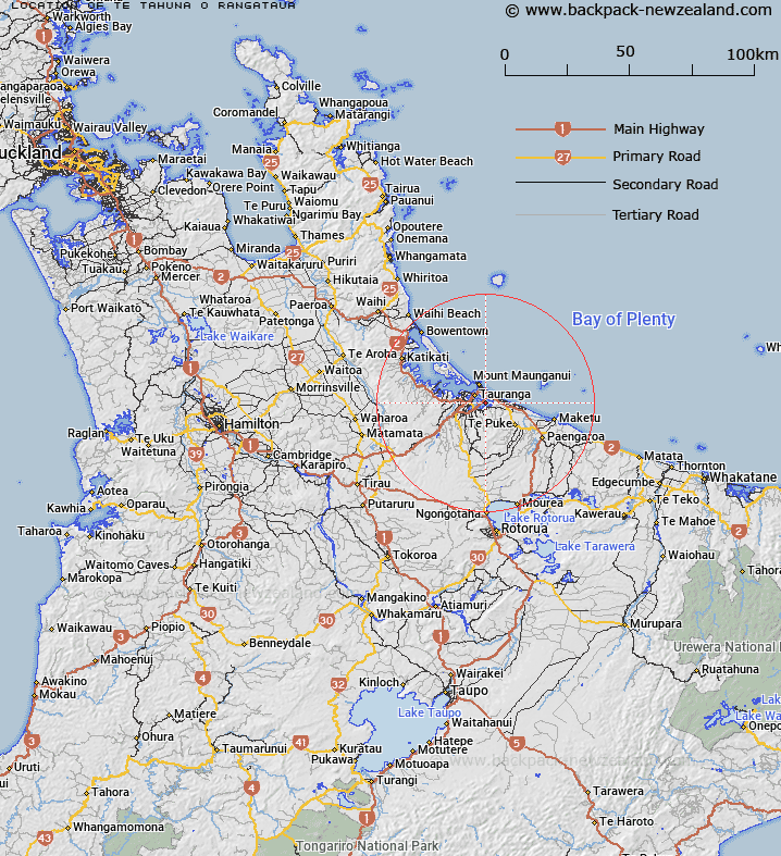
Map showing location of Te Tāhuna o Rangataua
LINZ description: An area at Tauranga Harbour from the Matapihi-Maungatapu bridge to the eastern extremity of the harbour
Latitude: -37.705714
Longitude: 176.21393
Northing: 5821972.7
Easting: 1883336.1
Land District: South Auckland
Feat Type: Bay
Latitude: -37.705714
Longitude: 176.21393
Northing: 5821972.7
Easting: 1883336.1
Land District: South Auckland
Feat Type: Bay

Scroll down to see a more detailed road map and below that a topographical map showing the location of Te Tāhuna o Rangataua. The road map has been supplied by openstreetmap and the topographical map of Te Tāhuna o Rangataua has been supplied by Land Information New Zealand (LINZ).
Yes you can use the top static map for you school/university project or personal website with a link back. Contact me for any commercial use.
[ A ] [ B ] [ C ] [ D ] [ E ] [ F ] [ G ] [ H ] [ I ] [ J ] [ K ] [ L ] [ M ] [ N ] [ O ] [ P ] [ Q ] [ R ] [ S ] [ T ] [ U ] [ V ] [ W ] [ X ] [ Y ] [ Z ]