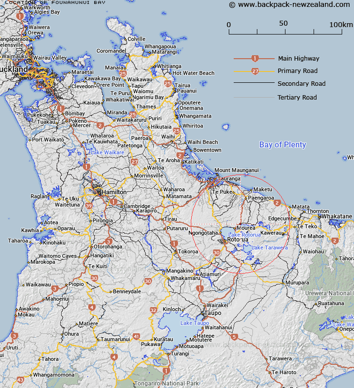
Map showing location of Pounamunui Bay


LINZ description: Located between Te Karaka Bay and Ōtaramarae Bay in Lake Rotoiti west of Pikiao Marae.
Latitude: -38.014718
Longitude: 176.370843
Northing: 5787187.3
Easting: 1895933.4
Land District: South Auckland
Feat Type: Bay


Scroll down to see a more detailed road map and below that a topographical map showing the location of Pounamunui Bay. The road map has been supplied by openstreetmap and the topographical map of Pounamunui Bay has been supplied by Land Information New Zealand (LINZ).

Yes you can use the top static map for you school/university project or personal website with a link back. Contact me for any commercial use.

Pounamunui Bay Map New Zealand


New Zealand places in our database
[ A ] [ B ] [ C ] [ D ] [ E ] [ F ] [ G ] [ H ] [ I ] [ J ] [ K ] [ L ] [ M ] [ N ] [ O ] [ P ] [ Q ] [ R ] [ S ] [ T ] [ U ] [ V ] [ W ] [ X ] [ Y ] [ Z ]


Closest 20 Bays to Pounamunui Bay

Pounamunui Bay ( 0km )   Te Karaka Bay ( 0.08km )   ?taramarae Bay ( 0.19km )   Onepoto Bay ( 0.61km )   Te T? Bay ( 0.98km )   Te Ti Bay ( 0.98km )   Te ?rero Bay ( 1.56km )   Te Arero Bay ( 1.56km )   ?kere Inlet ( 2.6km )   Okere Inlet ( 2.6km )   Whangamarino Bay ( 2.68km )   Manup?rua Bay ( 2.89km )   Te Weta Bay ( 3km )   Wharetata Bay ( 3.22km )   Paripari te tai Bay ( 3.23km )   T?moana Bay ( 3.29km )   Tauarau Bay ( 3.4km )   ?kahutoroa Bay ( 3.57km )   Tokerau Bay ( 3.76km )   Waipuna Bay ( 3.76km )   Ng?puka Bay ( 4.41km )   Wairau Bay ( 4.45km )   Tapuaekura Bay ( 4.63km )   ?kawa Bay ( 4.86km )   Okawa Bay ( 4.86km )   Hauparu Bay ( 5.34km )   ?tairoa Beach ( 5.36km )   Puketapu Bay ( 5.99km )   Waerenga/Mission Bay ( 6.23km )   Mission Bay ( 6.23km )   Ngongoahi Bay ( 6.41km )   Te Ruato Bay ( 7.03km )   Punawhakareia Bay ( 7.53km )   Te P?hue Bay ( 7.61km )   Pohue Bay ( 7.61km )   Te K?piha Bay ( 8.02km )   Kaikait?huna Bay ( 10.01km )   Korokitewao Bay ( 10.12km )   T?whakarere Bay ( 10.32km )   Te Matawera Bay ( 10.34km )