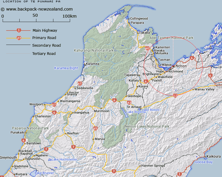
Map showing location of Te Punawai Pā
LINZ description: An historic pā southeast of Haulashore Island and approximately 1.5 km west-northwest of Nelson. NZTopo50-BQ26 221313.
Latitude: -41.269174
Longitude: 173.264121
Northing: 5431327.7
Easting: 1622122.3
Land District: Nelson
Feat Type: Site
Latitude: -41.269174
Longitude: 173.264121
Northing: 5431327.7
Easting: 1622122.3
Land District: Nelson
Feat Type: Site

Scroll down to see a more detailed road map and below that a topographical map showing the location of Te Punawai Pā. The road map has been supplied by openstreetmap and the topographical map of Te Punawai Pā has been supplied by Land Information New Zealand (LINZ).
Yes you can use the top static map for you school/university project or personal website with a link back. Contact me for any commercial use.
[ A ] [ B ] [ C ] [ D ] [ E ] [ F ] [ G ] [ H ] [ I ] [ J ] [ K ] [ L ] [ M ] [ N ] [ O ] [ P ] [ Q ] [ R ] [ S ] [ T ] [ U ] [ V ] [ W ] [ X ] [ Y ] [ Z ]