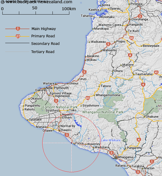
Map showing location of Whitikau


LINZ description: Found on west coast of the South Taranaki Bight, north of Patea. Location NZMS 260 Q21, Grid Reference 336 610
Latitude: -39.747061
Longitude: 174.442203
Northing: 5599321.5
Easting: 1723561.5
Land District: Taranaki
Feat Type: Site


Scroll down to see a more detailed road map and below that a topographical map showing the location of Whitikau. The road map has been supplied by openstreetmap and the topographical map of Whitikau has been supplied by Land Information New Zealand (LINZ).

Yes you can use the top static map for you school/university project or personal website with a link back. Contact me for any commercial use.

Whitikau Map New Zealand


New Zealand places in our database
[ A ] [ B ] [ C ] [ D ] [ E ] [ F ] [ G ] [ H ] [ I ] [ J ] [ K ] [ L ] [ M ] [ N ] [ O ] [ P ] [ Q ] [ R ] [ S ] [ T ] [ U ] [ V ] [ W ] [ X ] [ Y ] [ Z ]


Closest 20 Sites to Whitikau

Pariroa Marae ( 3.25km )   Waioturi Marae ( 4.64km )   Manutahi Marae ( 10.49km )   Kaihuahua Pa ( 11.57km )   Thackers Redoubt ( 12.47km )   Manawapou Pa ( 12.61km )   Inmans Redoubt ( 13.18km )   Ohangai Pa ( 18.97km )   Te Ruaki Pa ( 21.14km )   Otopawa Pa ( 21.35km )   Taiporohenui Marae ( 21.39km )   Taupatatea Pa ( 21.74km )   Te Ramanui ( 23.3km )   Maraeroa ( 23.39km )   Turuturu Mokai Pa ( 24.25km )   Waipapa Marae ( 24.34km )   Ihupuku Marae ( 25.21km )   Ketemarae Pa ( 25.31km )   Wharepuni Pa ( 26.72km )   Okahutiti Pa ( 29.67km )   Waimate ( 30.32km )   Tutahi Marae ( 30.75km )   Orangi Tuapeka ( 30.91km )   Araukuku Pa ( 31.18km )   Mawhitiwhiti Pa ( 31.29km )   Aotearoa Pa ( 32.06km )   Te Aroha Marae ( 34.18km )   Manaia Redoubt ( 34.62km )   Pakaraka Marae ( 35.51km )   Takirau Marae ( 37.04km )   Awhakauaeroa Marae ( 43.04km )   Te Aroha Marae ( 43.18km )   Whakaahu Rangi Plaque ( 46.83km )   Whakatukorau ( 50.79km )   Papaka Te Rangi ( 53.91km )   Kaiwhaiki Pa ( 55.26km )   Kemps Pole ( 55.53km )   Putiki Pa ( 56.18km )   Upokunui Pa ( 58.43km )   Atene Pa ( 59.83km )