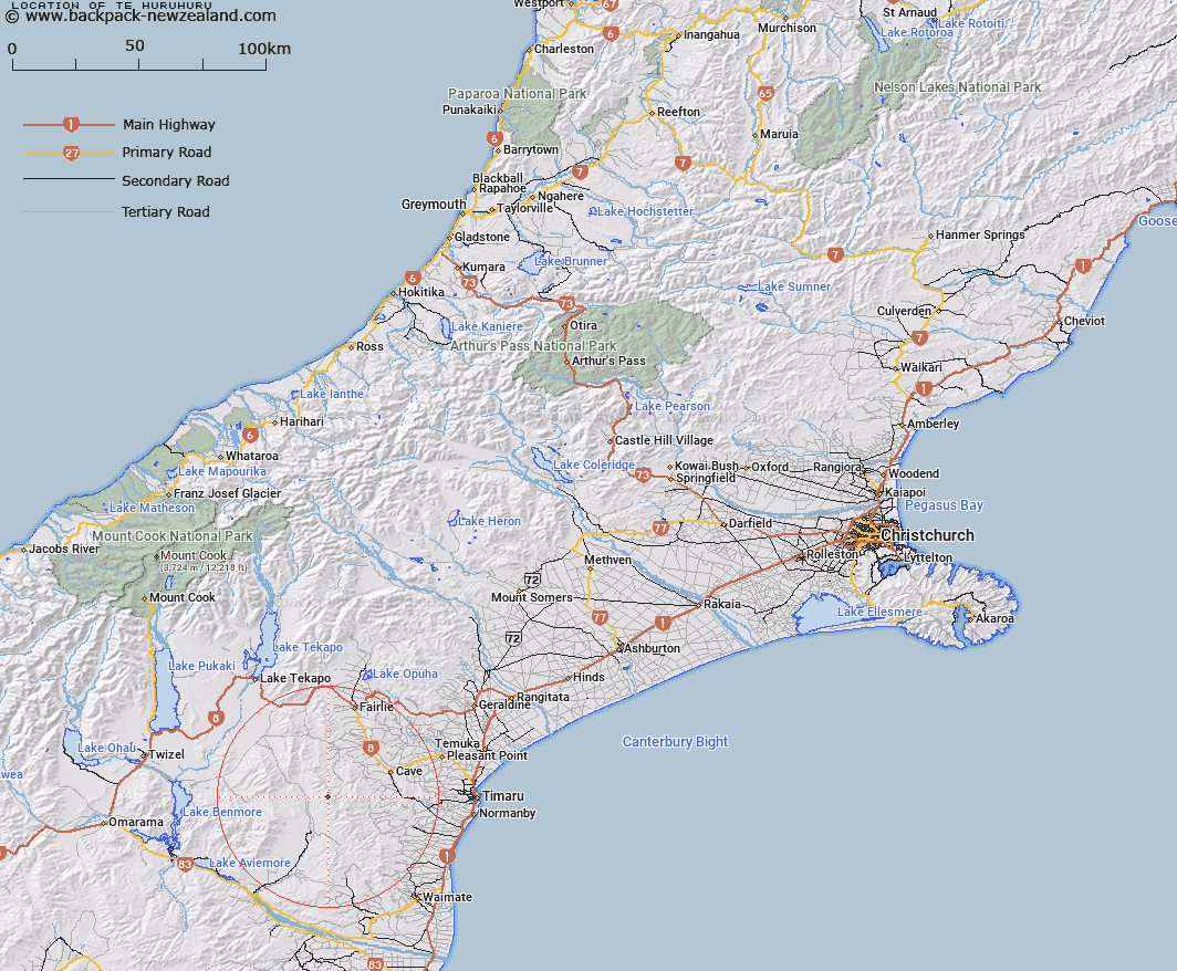
Map showing location of Te Huruhuru
LINZ description: Peak (height 1591m), in the the Hunters Hills, 6.8km North-west of Mount Nimrod/ Kaumira [Trig. N (Geodetic Code B6YK)]. Trig. K (Geodetic Code AAPV) sits on the summit. Block XIII Opawa Survey District.
Latitude: -44.395218
Longitude: 170.738596
Northing: 5081742.4
Easting: 1419900.8
Land District: Canterbury
Feat Type: Hill
Latitude: -44.395218
Longitude: 170.738596
Northing: 5081742.4
Easting: 1419900.8
Land District: Canterbury
Feat Type: Hill

Scroll down to see a more detailed road map and below that a topographical map showing the location of Te Huruhuru. The road map has been supplied by openstreetmap and the topographical map of Te Huruhuru has been supplied by Land Information New Zealand (LINZ).
Yes you can use the top static map for you school/university project or personal website with a link back. Contact me for any commercial use.
[ A ] [ B ] [ C ] [ D ] [ E ] [ F ] [ G ] [ H ] [ I ] [ J ] [ K ] [ L ] [ M ] [ N ] [ O ] [ P ] [ Q ] [ R ] [ S ] [ T ] [ U ] [ V ] [ W ] [ X ] [ Y ] [ Z ]