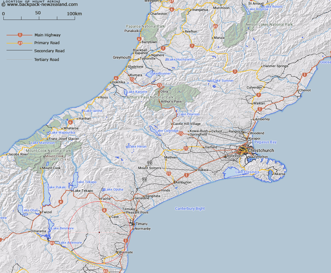
Map showing location of Mount Airini


LINZ description: Hill with Trig. S (Geodetic Code AAHV) at the summit, in the Hunters Hills. Nimrod Survey District.
Latitude: -44.495375
Longitude: 170.823241
Northing: 5070800
Easting: 1426938.1
Land District: Canterbury
Feat Type: Hill


Scroll down to see a more detailed road map and below that a topographical map showing the location of Mount Airini. The road map has been supplied by openstreetmap and the topographical map of Mount Airini has been supplied by Land Information New Zealand (LINZ).

Yes you can use the top static map for you school/university project or personal website with a link back. Contact me for any commercial use.

Mount Airini Map New Zealand


New Zealand places in our database
[ A ] [ B ] [ C ] [ D ] [ E ] [ F ] [ G ] [ H ] [ I ] [ J ] [ K ] [ L ] [ M ] [ N ] [ O ] [ P ] [ Q ] [ R ] [ S ] [ T ] [ U ] [ V ] [ W ] [ X ] [ Y ] [ Z ]


Closest 20 Hills to Mount Airini

Mount Airini ( 0km )   Mount Nimrod ( 6.8km )   Mount Nimrod/Kaumira ( 6.8km )   Mount Blyth ( 8.06km )   Mount Florence ( 12.51km )   Mount Cecil ( 12.69km )   Te Huruhuru ( 13.01km )   Macleod ( 14.99km )   Mount Sydney ( 16.08km )   Round Hill ( 16.19km )   Mount Studholme ( 17.69km )   Mount Nessing ( 18.82km )   Cave Hill ( 19.78km )   Green Hill ( 20.09km )   Lothian ( 20.47km )   Mount Smith ( 20.77km )   Mount MacGregor ( 21.28km )   Campbell Hills ( 21.35km )   Mount Horrible ( 21.37km )   Mount Shrives ( 21.53km )   Mount Kirkliston ( 25km )   Mount Milne ( 27.09km )   Pudding Hill ( 27.69km )   Mount Dalgety ( 27.89km )   Tara ( 29.46km )   Round Hill ( 31.22km )   Mount Orr ( 31.73km )   Mount Ellen ( 31.8km )   Mount Sutton ( 33.06km )   Mussen ( 33.44km )   Elephant Hill ( 33.87km )   Mount Welsh ( 34.86km )   Station Peak ( 35km )   Meyer ( 35.23km )   Mount Gay ( 35.57km )   Mount Parker ( 35.65km )   Mount Dryburgh ( 36.48km )   Potato Pit Hill ( 38.74km )   Green Hill ( 39.35km )   Kurow Hill/Te Kohurau ( 39.94km )