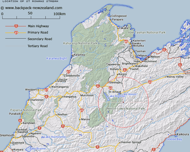
Map showing location of St Ronans Stream


LINZ description: Left bank tributary of the Wairau River rising 1.4km North-east of Trig. F (Geodetic Code A5AW) in the St. Arnaud Range, flowing South-eastward and joining wairau River 1.3km downstream of Hamilton River. Blocks IX and X Rotoiti Survey District.
Latitude: -41.933641
Longitude: 172.883801
Northing: 5357584.9
Easting: 1590366.7
Land District: Nelson
Feat Type: Stream


Scroll down to see a more detailed road map and below that a topographical map showing the location of St Ronans Stream. The road map has been supplied by openstreetmap and the topographical map of St Ronans Stream has been supplied by Land Information New Zealand (LINZ).

Yes you can use the top static map for you school/university project or personal website with a link back. Contact me for any commercial use.

St Ronans Stream Map New Zealand


New Zealand places in our database
[ A ] [ B ] [ C ] [ D ] [ E ] [ F ] [ G ] [ H ] [ I ] [ J ] [ K ] [ L ] [ M ] [ N ] [ O ] [ P ] [ Q ] [ R ] [ S ] [ T ] [ U ] [ V ] [ W ] [ X ] [ Y ] [ Z ]


Closest 20 Streams to St Ronans Stream

Six Mile Creek ( 3.66km )   Arnst Gully ( 4km )   Arnst River ( 4km )   Hamilton River ( 4.35km )   Hellfire Stream ( 4.76km )   Lees Creek ( 5.12km )   Shroders Creek ( 5.85km )   Clearwater Stream ( 7.26km )   Woolshed Stream ( 7.26km )   Connors Creek ( 7.44km )   Coldwater Stream ( 8.69km )   Shift Creek ( 9.27km )   Ngaro Stream ( 9.27km )   Rough Creek ( 9.3km )   Hukere Stream ( 9.5km )   Chandler Stream ( 9.69km )   Merry Stream ( 10.38km )   Whisky Creek ( 11.31km )   Little Misery Stream ( 11.4km )   Hopeless Creek ( 11.67km )   Misery Stream ( 11.79km )   Chinaman Stream ( 11.81km )   Cupola Creek ( 12.61km )   Sandfly Stream ( 12.78km )   Robert Stream ( 12.82km )   Borlase Stream ( 13.23km )   Summit Creek ( 13.31km )   No Catchem Stream ( 13.49km )   Coldwater Creek ( 13.77km )   Speargrass Creek ( 14.12km )   Te Horowai / Speargrass Creek ( 14.12km )   Travers River ( 14.2km )   Lost Stream ( 14.29km )   Begley Creek ( 14.61km )   Open Stream ( 15.08km )   Judges Creek ( 15.1km )   St Arnaud Stream ( 15.27km )   Black Valley Stream ( 15.38km )   Bull Paddock Stream ( 15.44km )   Canon Creek ( 15.7km )