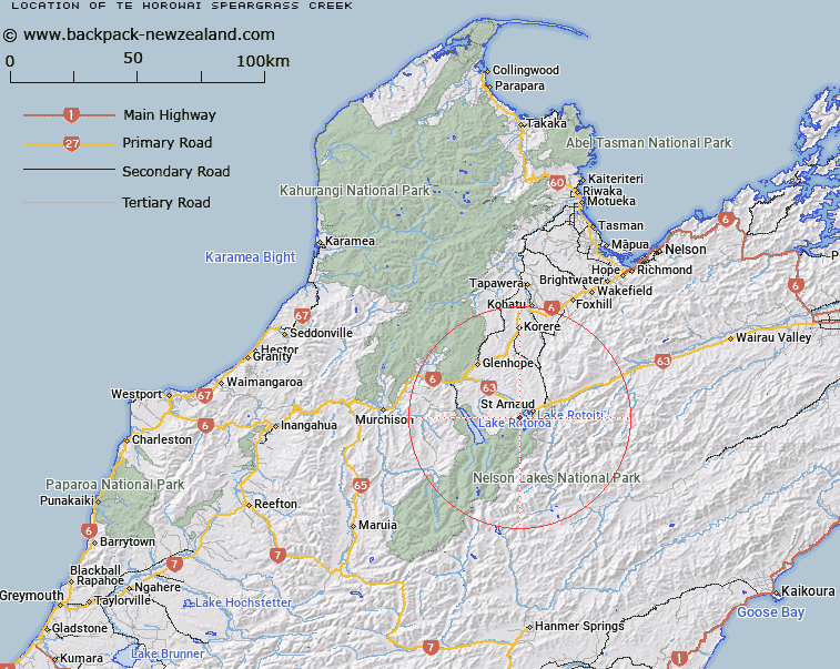
Map showing location of Te Horowai / Speargrass Creek
LINZ description: A stream flowing from Robert Ridge approximately 1 km northeast of Rotomaninitua / Lake Angelus into Buller River approximately 8 km northwest of St Arnaud. Feature shown on: NZMS260 N29 Edition 1 1984 Limited Revision 1996; NZTopo50-BS24 797635 - BR24 808769.
Latitude: -41.824861
Longitude: 172.795833
Northing: 5369648.8
Easting: 1583045.1
Land District: Nelson
Feat Type: Stream
Latitude: -41.824861
Longitude: 172.795833
Northing: 5369648.8
Easting: 1583045.1
Land District: Nelson
Feat Type: Stream

Scroll down to see a more detailed road map and below that a topographical map showing the location of Te Horowai / Speargrass Creek. The road map has been supplied by openstreetmap and the topographical map of Te Horowai / Speargrass Creek has been supplied by Land Information New Zealand (LINZ).
Yes you can use the top static map for you school/university project or personal website with a link back. Contact me for any commercial use.
[ A ] [ B ] [ C ] [ D ] [ E ] [ F ] [ G ] [ H ] [ I ] [ J ] [ K ] [ L ] [ M ] [ N ] [ O ] [ P ] [ Q ] [ R ] [ S ] [ T ] [ U ] [ V ] [ W ] [ X ] [ Y ] [ Z ]