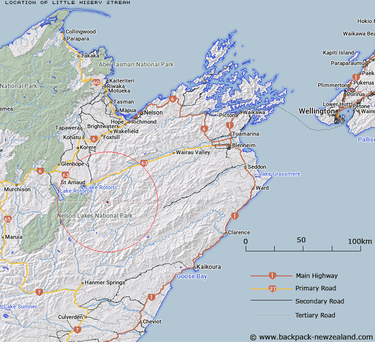
Map showing location of Little Misery Stream
LINZ description: Right bank tributary of Misery Stream rising in the Raglan Range 4.3km South-east Trig. B (Geodetic Code A5AT)], flowing South-eastward then North-eastward and joining Misery Stream 1.5km upstream of Branch River. Block II, Molesworth Survey District.
Latitude: -41.924809
Longitude: 173.021105
Northing: 5358571.9
Easting: 1601749.9
Land District: Marlborough
Feat Type: Stream
Latitude: -41.924809
Longitude: 173.021105
Northing: 5358571.9
Easting: 1601749.9
Land District: Marlborough
Feat Type: Stream

Scroll down to see a more detailed road map and below that a topographical map showing the location of Little Misery Stream. The road map has been supplied by openstreetmap and the topographical map of Little Misery Stream has been supplied by Land Information New Zealand (LINZ).
Yes you can use the top static map for you school/university project or personal website with a link back. Contact me for any commercial use.
[ A ] [ B ] [ C ] [ D ] [ E ] [ F ] [ G ] [ H ] [ I ] [ J ] [ K ] [ L ] [ M ] [ N ] [ O ] [ P ] [ Q ] [ R ] [ S ] [ T ] [ U ] [ V ] [ W ] [ X ] [ Y ] [ Z ]