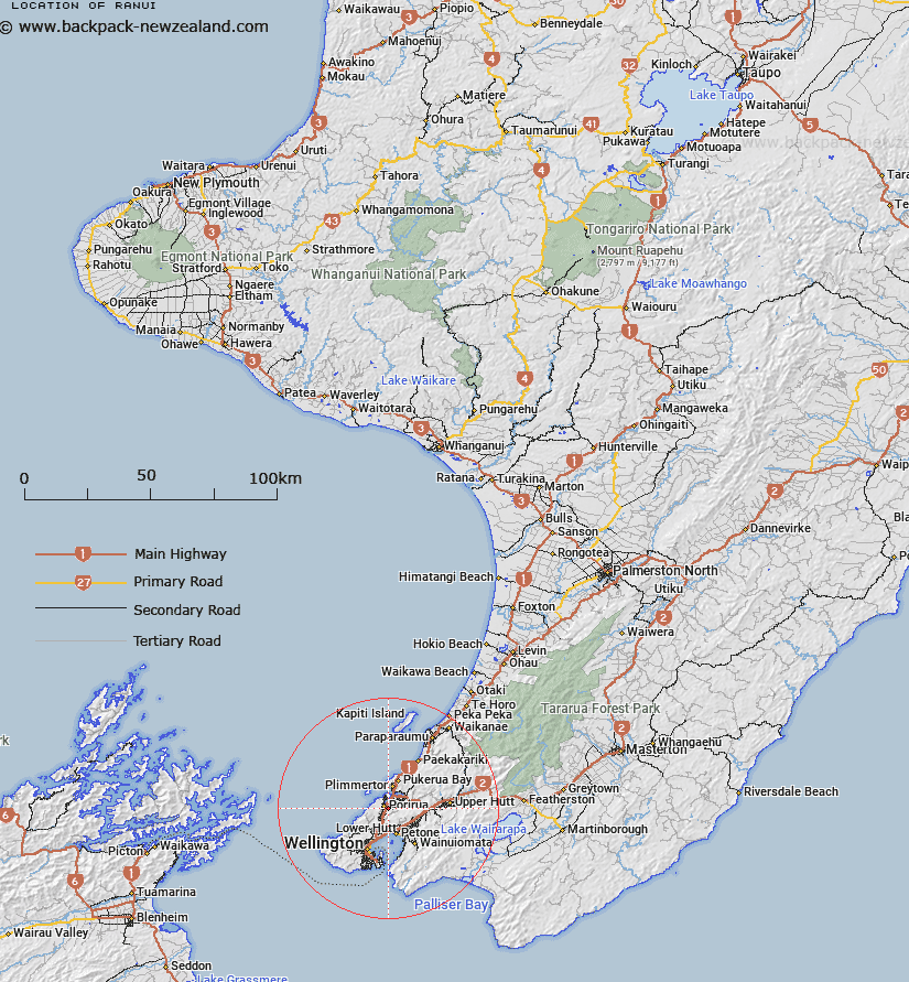
Map showing location of Rānui
LINZ description: Altering the existing recorded suburb names of Ranui Heights and Porirua East. NZTopo50 BP31-Porirua, GR 553 436 and NZTopo50 BP32-Paraparaumu, GR 560 436 (NZTM2000: 5443600 N 1756000 E; NZGD2000: 41 08 38 S 174 51 32 E).
Latitude: -41.144132
Longitude: 174.850578
Northing: 5443592.3
Easting: 1755300.5
Land District: Wellington
Feat Type: Suburb
Latitude: -41.144132
Longitude: 174.850578
Northing: 5443592.3
Easting: 1755300.5
Land District: Wellington
Feat Type: Suburb

Scroll down to see a more detailed road map and below that a topographical map showing the location of Rānui. The road map has been supplied by openstreetmap and the topographical map of Rānui has been supplied by Land Information New Zealand (LINZ).
Yes you can use the top static map for you school/university project or personal website with a link back. Contact me for any commercial use.
[ A ] [ B ] [ C ] [ D ] [ E ] [ F ] [ G ] [ H ] [ I ] [ J ] [ K ] [ L ] [ M ] [ N ] [ O ] [ P ] [ Q ] [ R ] [ S ] [ T ] [ U ] [ V ] [ W ] [ X ] [ Y ] [ Z ]