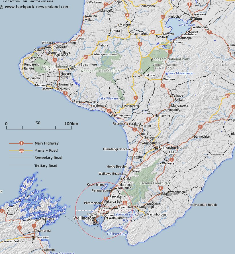
Map showing location of Waitangirua
LINZ description: NZTopo50 BP31-Porirua, GR 555 424, and NZTopo50 BP32-Paraparaumu, GR 589 434, and NZTopo50 BQ31-Wellington, GR 557 418, and NZTopo50 BQ32-Lower Hutt, GR 590 413.
Latitude: -41.163108
Longitude: 174.897564
Northing: 5441400.7
Easting: 1759197.9
Land District: Wellington
Feat Type: Suburb
Latitude: -41.163108
Longitude: 174.897564
Northing: 5441400.7
Easting: 1759197.9
Land District: Wellington
Feat Type: Suburb

Scroll down to see a more detailed road map and below that a topographical map showing the location of Waitangirua. The road map has been supplied by openstreetmap and the topographical map of Waitangirua has been supplied by Land Information New Zealand (LINZ).
Yes you can use the top static map for you school/university project or personal website with a link back. Contact me for any commercial use.
[ A ] [ B ] [ C ] [ D ] [ E ] [ F ] [ G ] [ H ] [ I ] [ J ] [ K ] [ L ] [ M ] [ N ] [ O ] [ P ] [ Q ] [ R ] [ S ] [ T ] [ U ] [ V ] [ W ] [ X ] [ Y ] [ Z ]