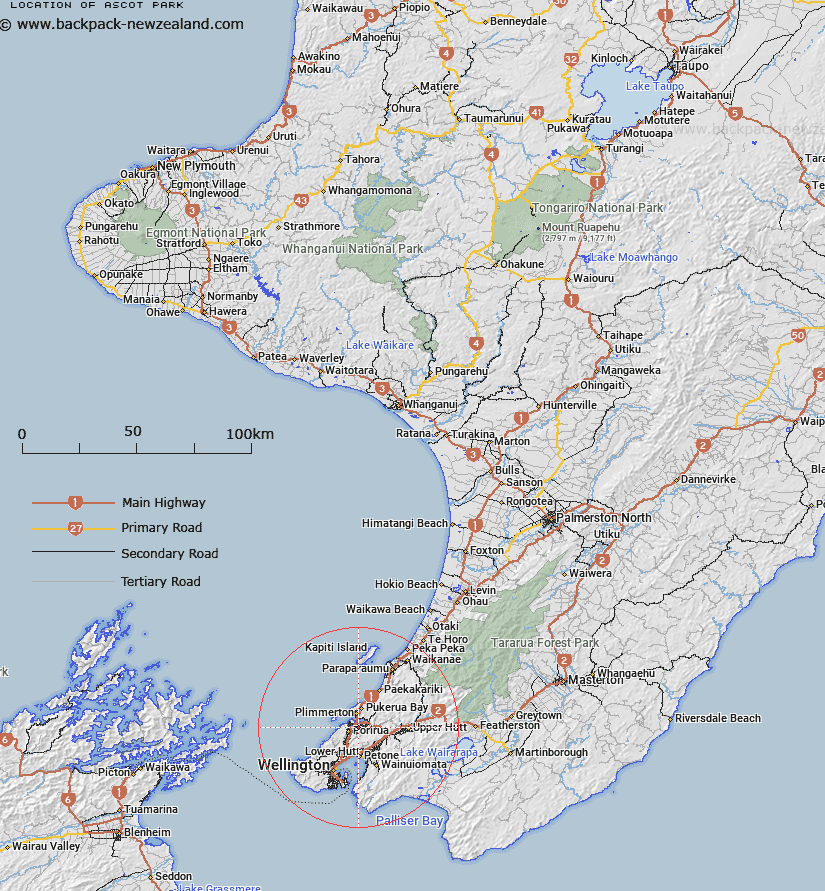
Map showing location of Ascot Park


LINZ description: NZTopo50 BP32-Paraparaumu, GR 573 464.
Latitude: -41.119459
Longitude: 174.872987
Northing: 5446291.2
Easting: 1757240.2
Land District: Wellington
Feat Type: Suburb


Scroll down to see a more detailed road map and below that a topographical map showing the location of Ascot Park. The road map has been supplied by openstreetmap and the topographical map of Ascot Park has been supplied by Land Information New Zealand (LINZ).

Yes you can use the top static map for you school/university project or personal website with a link back. Contact me for any commercial use.

Ascot Park Map New Zealand


New Zealand places in our database
[ A ] [ B ] [ C ] [ D ] [ E ] [ F ] [ G ] [ H ] [ I ] [ J ] [ K ] [ L ] [ M ] [ N ] [ O ] [ P ] [ Q ] [ R ] [ S ] [ T ] [ U ] [ V ] [ W ] [ X ] [ Y ] [ Z ]


Closest 20 Suburbs to Ascot Park

Papak?whai ( 1.01km )   Papakowhai ( 1.01km )   Golden Gate ( 1.68km )   Whitby ( 1.9km )   Onepoto ( 2.14km )   Aotea ( 2.33km )   Paremata ( 2.36km )   Cannons Creek ( 2.42km )   Mana ( 2.64km )   Titahi Bay ( 2.84km )   T?tahi Bay ( 2.84km )   Porirua East ( 3.15km )   Porirua City ( 3.23km )   Porirua City Centre ( 3.23km )   R?nui ( 3.32km )   Camborne ( 3.45km )   Takap?w?hia ( 3.74km )   Ranui Heights ( 3.89km )   Elsdon ( 4.23km )   Pauatahanui ( 4.85km )   Pahautanui ( 4.85km )   P?uatahanui ( 4.85km )   Linden ( 5.25km )   Waitangirua ( 5.27km )   Plimmerton ( 5.43km )   Karehana Bay ( 5.43km )   Kenepuru ( 5.44km )   Lindenvale ( 5.64km )   Greenacres ( 5.71km )   Westhaven ( 7.59km )   Grenada North ( 7.6km )   Pukerua Bay ( 7.64km )   Redwood ( 7.81km )   Sundale ( 7.96km )   Kelson ( 8.4km )   Southgate ( 8.41km )   Belmont ( 8.69km )   Tirohanga ( 9.34km )   Normandale ( 9.35km )   Harbour View ( 9.41km )