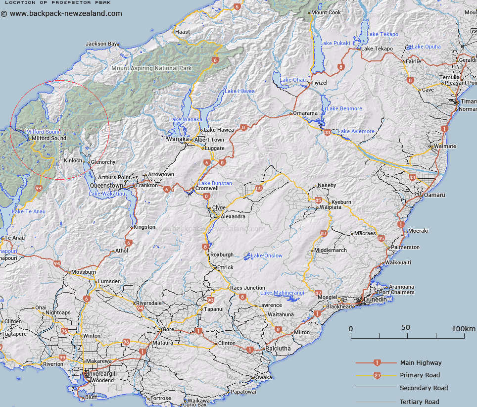
Map showing location of Prospector Peak


LINZ description: Peak above Hidden Falls Creek and Hollyford River/Whakatipu Kā Tuka, south west of Barrington Peak.
Latitude: -44.60614
Longitude: 168.16097
Northing: 5049400
Easting: 1216000
Land District: Otago
Feat Type: Hill


Scroll down to see a more detailed road map and below that a topographical map showing the location of Prospector Peak. The road map has been supplied by openstreetmap and the topographical map of Prospector Peak has been supplied by Land Information New Zealand (LINZ).

Yes you can use the top static map for you school/university project or personal website with a link back. Contact me for any commercial use.

Prospector Peak Map New Zealand


New Zealand places in our database
[ A ] [ B ] [ C ] [ D ] [ E ] [ F ] [ G ] [ H ] [ I ] [ J ] [ K ] [ L ] [ M ] [ N ] [ O ] [ P ] [ Q ] [ R ] [ S ] [ T ] [ U ] [ V ] [ W ] [ X ] [ Y ] [ Z ]


Closest 20 Hills to Prospector Peak

Frenchman Peak ( 4.49km )   Nereus Peak ( 4.99km )   Amphion Peak ( 5.69km )   Barrington Peak ( 6.13km )   Poseidon Peak ( 6.53km )   Sarpedon ( 6.82km )   Minos Peak ( 6.98km )   Niobe Peak ( 7.59km )   Welshman Peak ( 7.63km )   Somnus ( 8.02km )   Mount Chaos ( 8.35km )   Fiery Peak ( 8.87km )   Courtenay Peak ( 8.96km )   Tantalus Peak ( 8.99km )   Mount Madeline ( 9.17km )   Mount Dot ( 9.72km )   Mount Nox ( 9.77km )   Alice Peak ( 9.94km )   Te Wera Peak ( 10.25km )   Mount Syme ( 10.46km )   Momus ( 10.55km )   Mount Erebus ( 10.75km )   Mount Milne ( 10.89km )   Tuhawaiki Mountain ( 10.99km )   East Peak ( 11.01km )   Mount Tarewai ( 11.17km )   Taiaroa Peak ( 11.36km )   Mount Mahere ( 11.45km )   West Peak ( 11.55km )   Karetai Peak ( 11.7km )   Waitiri ( 11.73km )   Mount Tutoko ( 11.83km )   Mount Xenicus ( 12.17km )   Puketuroto Peak ( 12.19km )   Mount Revelation ( 12.21km )   Fohn Peak ( 12.71km )   Conical Hill ( 12.87km )   Patuki Mountain ( 13.06km )   Harris Saddle/Tarahaka Whakatipu ( 13.43km )   Harris Saddle ( 13.43km )