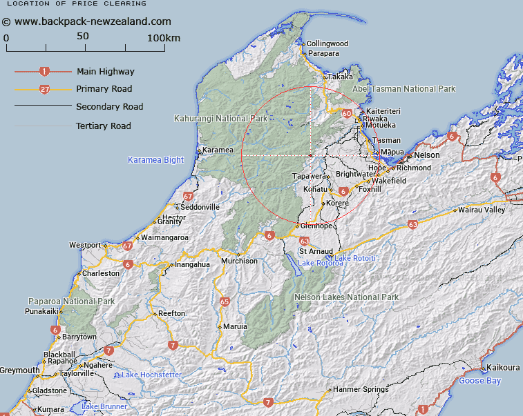
Map showing location of Price Clearing
LINZ description: Bush clearing, East facing, at head of Stony Creek, a tributary of Baton River. 2km South of Barron Bold Peak. Block III Wangapeka Survey District.
Latitude: -41.270318
Longitude: 172.722837
Northing: 5431197.3
Easting: 1576785.7
Land District: Nelson
Feat Type: Clearing
Latitude: -41.270318
Longitude: 172.722837
Northing: 5431197.3
Easting: 1576785.7
Land District: Nelson
Feat Type: Clearing

Scroll down to see a more detailed road map and below that a topographical map showing the location of Price Clearing. The road map has been supplied by openstreetmap and the topographical map of Price Clearing has been supplied by Land Information New Zealand (LINZ).
Yes you can use the top static map for you school/university project or personal website with a link back. Contact me for any commercial use.
[ A ] [ B ] [ C ] [ D ] [ E ] [ F ] [ G ] [ H ] [ I ] [ J ] [ K ] [ L ] [ M ] [ N ] [ O ] [ P ] [ Q ] [ R ] [ S ] [ T ] [ U ] [ V ] [ W ] [ X ] [ Y ] [ Z ]