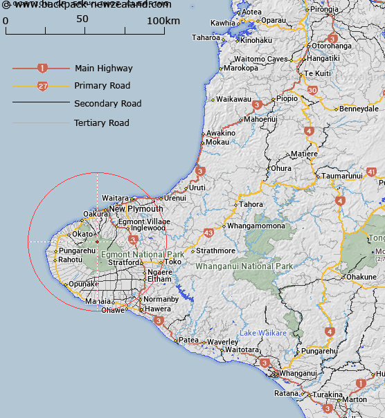
Map showing location of Graylings Clearing
LINZ description: A clearing in the bush on Pouakai Range between the valleys of the Kiri and Mangorei Streams.
Latitude: -39.227144
Longitude: 174.037295
Northing: 5657503.9
Easting: 1689534.3
Land District: Taranaki
Feat Type: Clearing
Latitude: -39.227144
Longitude: 174.037295
Northing: 5657503.9
Easting: 1689534.3
Land District: Taranaki
Feat Type: Clearing

Scroll down to see a more detailed road map and below that a topographical map showing the location of Graylings Clearing. The road map has been supplied by openstreetmap and the topographical map of Graylings Clearing has been supplied by Land Information New Zealand (LINZ).
Yes you can use the top static map for you school/university project or personal website with a link back. Contact me for any commercial use.
[ A ] [ B ] [ C ] [ D ] [ E ] [ F ] [ G ] [ H ] [ I ] [ J ] [ K ] [ L ] [ M ] [ N ] [ O ] [ P ] [ Q ] [ R ] [ S ] [ T ] [ U ] [ V ] [ W ] [ X ] [ Y ] [ Z ]