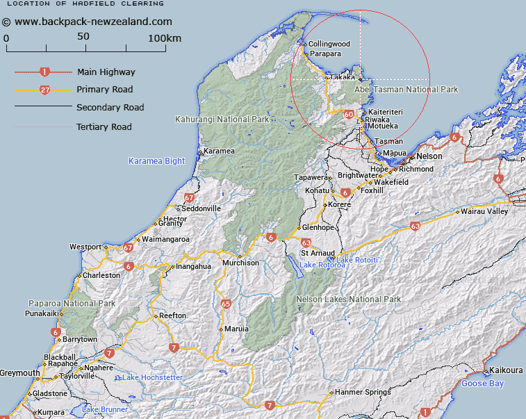
Map showing location of Hadfield Clearing
LINZ description: Open area surrounding an early settler homestead, maintained for over a century and now regenerating, rising to the surrounding hillsides, located at the western reaches of Awaroa Inlet, within Abel Tasman National Park.
Latitude: -40.859493
Longitude: 172.990348
Northing: 5476840.3
Easting: 1599186.6
Land District: Nelson
Feat Type: Clearing
Latitude: -40.859493
Longitude: 172.990348
Northing: 5476840.3
Easting: 1599186.6
Land District: Nelson
Feat Type: Clearing

Scroll down to see a more detailed road map and below that a topographical map showing the location of Hadfield Clearing. The road map has been supplied by openstreetmap and the topographical map of Hadfield Clearing has been supplied by Land Information New Zealand (LINZ).
Yes you can use the top static map for you school/university project or personal website with a link back. Contact me for any commercial use.
[ A ] [ B ] [ C ] [ D ] [ E ] [ F ] [ G ] [ H ] [ I ] [ J ] [ K ] [ L ] [ M ] [ N ] [ O ] [ P ] [ Q ] [ R ] [ S ] [ T ] [ U ] [ V ] [ W ] [ X ] [ Y ] [ Z ]