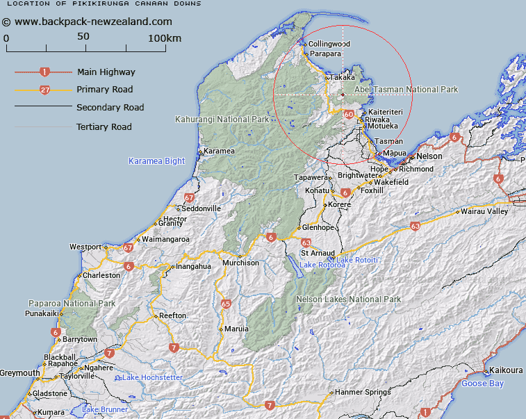
Map showing location of Pikikirunga / Canaan Downs
LINZ description: An area near Harwoods Hole on Pikikiruna Range approximately 12 km southeast of Takaka. NZTopo50-BP25 910676.
Latitude: -40.942996
Longitude: 172.893376
Northing: 5467565.4
Easting: 1591025.1
Land District: Nelson
Feat Type: Area
Latitude: -40.942996
Longitude: 172.893376
Northing: 5467565.4
Easting: 1591025.1
Land District: Nelson
Feat Type: Area

Scroll down to see a more detailed road map and below that a topographical map showing the location of Pikikirunga / Canaan Downs. The road map has been supplied by openstreetmap and the topographical map of Pikikirunga / Canaan Downs has been supplied by Land Information New Zealand (LINZ).
Yes you can use the top static map for you school/university project or personal website with a link back. Contact me for any commercial use.
[ A ] [ B ] [ C ] [ D ] [ E ] [ F ] [ G ] [ H ] [ I ] [ J ] [ K ] [ L ] [ M ] [ N ] [ O ] [ P ] [ Q ] [ R ] [ S ] [ T ] [ U ] [ V ] [ W ] [ X ] [ Y ] [ Z ]