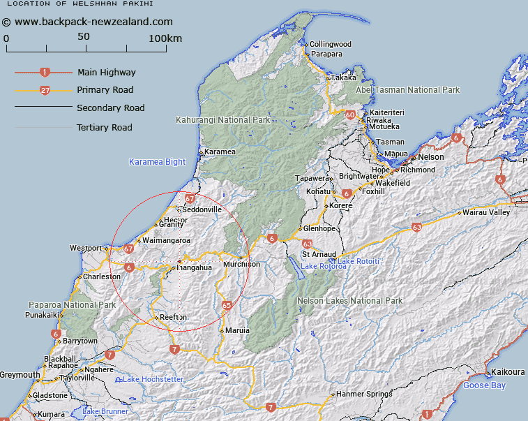
Map showing location of Welshman Pakihi
LINZ description: A flat open area on the north side of Buller River, East of the headwaters of Welshman Creek, 5km North-east of Inangahua locality. Block III Inangahua Survey District.
Latitude: -41.819305
Longitude: 171.985983
Northing: 5369788.9
Easting: 1515783.9
Land District: Nelson
Feat Type: Area
Latitude: -41.819305
Longitude: 171.985983
Northing: 5369788.9
Easting: 1515783.9
Land District: Nelson
Feat Type: Area

Scroll down to see a more detailed road map and below that a topographical map showing the location of Welshman Pakihi. The road map has been supplied by openstreetmap and the topographical map of Welshman Pakihi has been supplied by Land Information New Zealand (LINZ).
Yes you can use the top static map for you school/university project or personal website with a link back. Contact me for any commercial use.
[ A ] [ B ] [ C ] [ D ] [ E ] [ F ] [ G ] [ H ] [ I ] [ J ] [ K ] [ L ] [ M ] [ N ] [ O ] [ P ] [ Q ] [ R ] [ S ] [ T ] [ U ] [ V ] [ W ] [ X ] [ Y ] [ Z ]