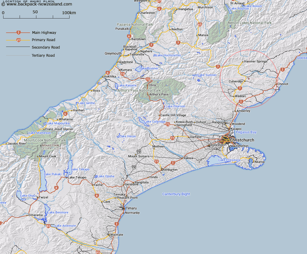
Map showing location of Amuri Plain
LINZ description: The river plain area between the Waiau and Hurunui Rivers, lying west of Lowry Peaks Range and extending from Balmoral State Forest across the Pahau River to the Waiau River
Latitude: -42.744652
Longitude: 172.910185
Northing: 5267536.7
Easting: 1592649.1
Land District: Canterbury
Feat Type: Area
Latitude: -42.744652
Longitude: 172.910185
Northing: 5267536.7
Easting: 1592649.1
Land District: Canterbury
Feat Type: Area

Scroll down to see a more detailed road map and below that a topographical map showing the location of Amuri Plain. The road map has been supplied by openstreetmap and the topographical map of Amuri Plain has been supplied by Land Information New Zealand (LINZ).
Yes you can use the top static map for you school/university project or personal website with a link back. Contact me for any commercial use.
[ A ] [ B ] [ C ] [ D ] [ E ] [ F ] [ G ] [ H ] [ I ] [ J ] [ K ] [ L ] [ M ] [ N ] [ O ] [ P ] [ Q ] [ R ] [ S ] [ T ] [ U ] [ V ] [ W ] [ X ] [ Y ] [ Z ]