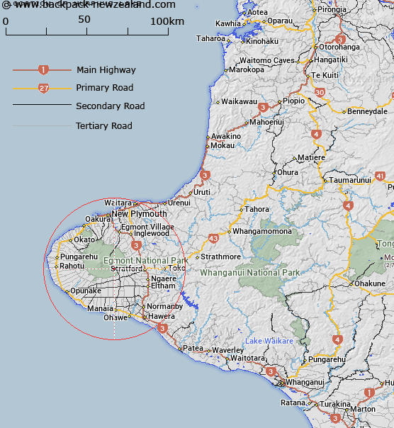
Map showing location of Murphys Lake


LINZ description: Small lake south east of Dawson Falls Tourist Lodge.
Latitude: -39.33621
Longitude: 174.117142
Northing: 5645317.8
Easting: 1696277
Land District: Taranaki
Feat Type: Lake


Scroll down to see a more detailed road map and below that a topographical map showing the location of Murphys Lake. The road map has been supplied by openstreetmap and the topographical map of Murphys Lake has been supplied by Land Information New Zealand (LINZ).

Yes you can use the top static map for you school/university project or personal website with a link back. Contact me for any commercial use.

Murphys Lake Map New Zealand


New Zealand places in our database
[ A ] [ B ] [ C ] [ D ] [ E ] [ F ] [ G ] [ H ] [ I ] [ J ] [ K ] [ L ] [ M ] [ N ] [ O ] [ P ] [ Q ] [ R ] [ S ] [ T ] [ U ] [ V ] [ W ] [ X ] [ Y ] [ Z ]


Closest 20 Lakes to Murphys Lake

Murphys Lake ( 0km )   Lake Dive ( 4.98km )   Lake Ratapiko ( 22.48km )   Lake Mangamahoe ( 23.69km )   Barrett Lagoon ( 27.99km )   Rotokare / Barrett Lagoon ( 27.99km )   Lake Rotokare ( 28.24km )   Lake Rotomanu ( 32.85km )   Waipu Lagoons ( 34.1km )   Lake Rotorangi ( 42.3km )   Lake Rotokohu ( 59.89km )   Lake Moumahaki ( 61.58km )   Lake Momahaki ( 61.58km )   Lake Oturi ( 65.27km )   Lake Mangawhio ( 67.23km )   Lake Herengawe ( 67.95km )   Lake Waikare ( 69.97km )   Lake Waiau ( 70.57km )   Lake Okoia ( 72.36km )   Hawkens Lagoon ( 73.96km )   Tapuarau Lagoon ( 73.96km )   Lake Waikato ( 78.93km )   Lake Marahau ( 82.34km )   Lake Hawkes ( 93.47km )   Lake Westmere ( 97.88km )   Lake Virginia ( 101.38km )   Kaitoke Lake ( 107.21km )   Coe's Hole ( 107.63km )   Lake Kohata ( 108.73km )   Lake Wiritoa ( 109.54km )   Lake Pauri ( 110.13km )   Lake Rotokauwau ( 114.7km )   Ohinetonga Lagoon ( 115.64km )   Rotokawa ( 118.77km )   Lake Waipu ( 118.94km )   Lake Surprise ( 119.09km )   Lake Oraekomiko ( 119.49km )   Lake Rotokuru ( 121.01km )   Lake Rotokura ( 121.01km )   Crater Lake ( 124.59km )