Map showing location of Lake Rotomanu


LINZ description: Feature shown on: NZMS260 P19 Edition 1 1984
Latitude: -39.040806
Longitude: 174.111111
Northing: 5678107.8
Easting: 1696159
Land District: Taranaki
Feat Type: Lake
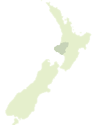

Scroll down to see a more detailed road map and below that a topographical map showing the location of Lake Rotomanu. The road map has been supplied by openstreetmap and the topographical map of Lake Rotomanu has been supplied by Land Information New Zealand (LINZ).

Yes you can use the top static map for you school/university project or personal website with a link back. Contact me for any commercial use.
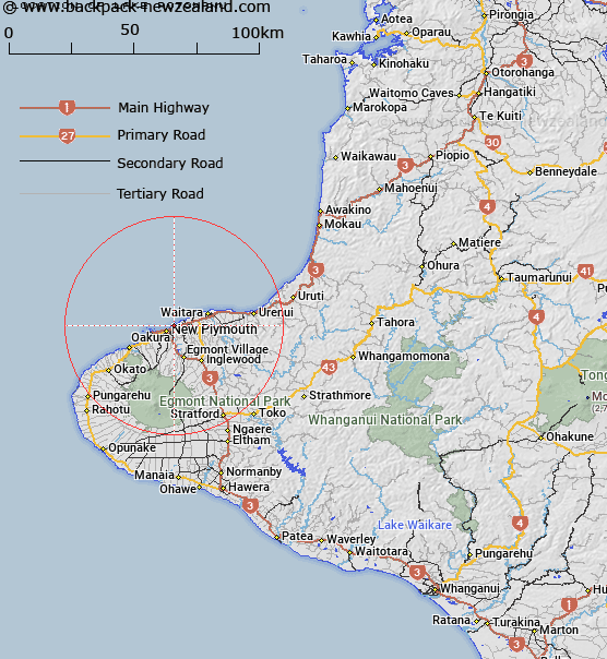
Lake Rotomanu Map New Zealand


New Zealand places in our database
[ A ] [ B ] [ C ] [ D ] [ E ] [ F ] [ G ] [ H ] [ I ] [ J ] [ K ] [ L ] [ M ] [ N ] [ O ] [ P ] [ Q ] [ R ] [ S ] [ T ] [ U ] [ V ] [ W ] [ X ] [ Y ] [ Z ]


Closest 20 Lakes to Lake Rotomanu

Waipu Lagoons ( 2.13km )   Barrett Lagoon ( 8.27km )   Rotokare / Barrett Lagoon ( 8.27km )   Lake Mangamahoe ( 9.25km )   Lake Ratapiko ( 25.83km )   Murphys Lake ( 32.85km )   Lake Dive ( 33.06km )   Lake Rotokare ( 52.33km )   Lake Rotorangi ( 65.57km )   Lake Rotokohu ( 77.84km )   Lake Momahaki ( 86.66km )   Lake Moumahaki ( 86.66km )   Lake Mangawhio ( 89.35km )   Lake Waikare ( 92.11km )   Lake Hawkes ( 92.7km )   Lake Oturi ( 92.9km )   Lake Herengawe ( 95.33km )   Lake Waiau ( 97.4km )   Lake Okoia ( 99.46km )   Hawkens Lagoon ( 101.52km )   Tapuarau Lagoon ( 101.52km )   Lake Waikato ( 104.78km )   Lake Harihari ( 106.81km )   Lake Rototapu ( 107.76km )   Lake Piopio ( 107.94km )   Lake Marahau ( 107.97km )   Lake Rotoroa ( 109.27km )   Lake Numiti ( 109.87km )   Ohinetonga Lagoon ( 110.13km )   Lake Taharoa ( 111.71km )   Lake Koraha ( 120.41km )   Lake Rotokotuku ( 121.69km )   Lake Westmere ( 121.82km )   Lake Surprise ( 122.97km )   Lake Te Rotopupu ( 123.56km )   Rotokawa ( 123.83km )   Lake Virginia ( 125.23km )   Lake Parangi ( 126.7km )   Crater Lake ( 128.03km )   Lake Rotokuru ( 128.77km )