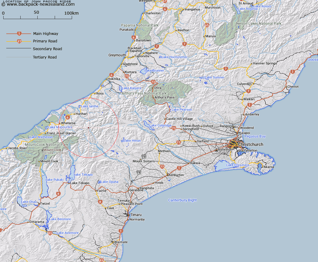
Map showing location of John Pascoe Ridge
LINZ description: Ridge which lies between the Gardens of Allah and Eden and extends along the Main Divide and extending from Adams Col to Lamberts Col.
Latitude: -43.319968
Longitude: 170.736954
Northing: 5201165.3
Easting: 1416500
Land District: Canterbury, Westland
Feat Type: Ridge
Latitude: -43.319968
Longitude: 170.736954
Northing: 5201165.3
Easting: 1416500
Land District: Canterbury, Westland
Feat Type: Ridge

Scroll down to see a more detailed road map and below that a topographical map showing the location of John Pascoe Ridge. The road map has been supplied by openstreetmap and the topographical map of John Pascoe Ridge has been supplied by Land Information New Zealand (LINZ).
Yes you can use the top static map for you school/university project or personal website with a link back. Contact me for any commercial use.
[ A ] [ B ] [ C ] [ D ] [ E ] [ F ] [ G ] [ H ] [ I ] [ J ] [ K ] [ L ] [ M ] [ N ] [ O ] [ P ] [ Q ] [ R ] [ S ] [ T ] [ U ] [ V ] [ W ] [ X ] [ Y ] [ Z ]