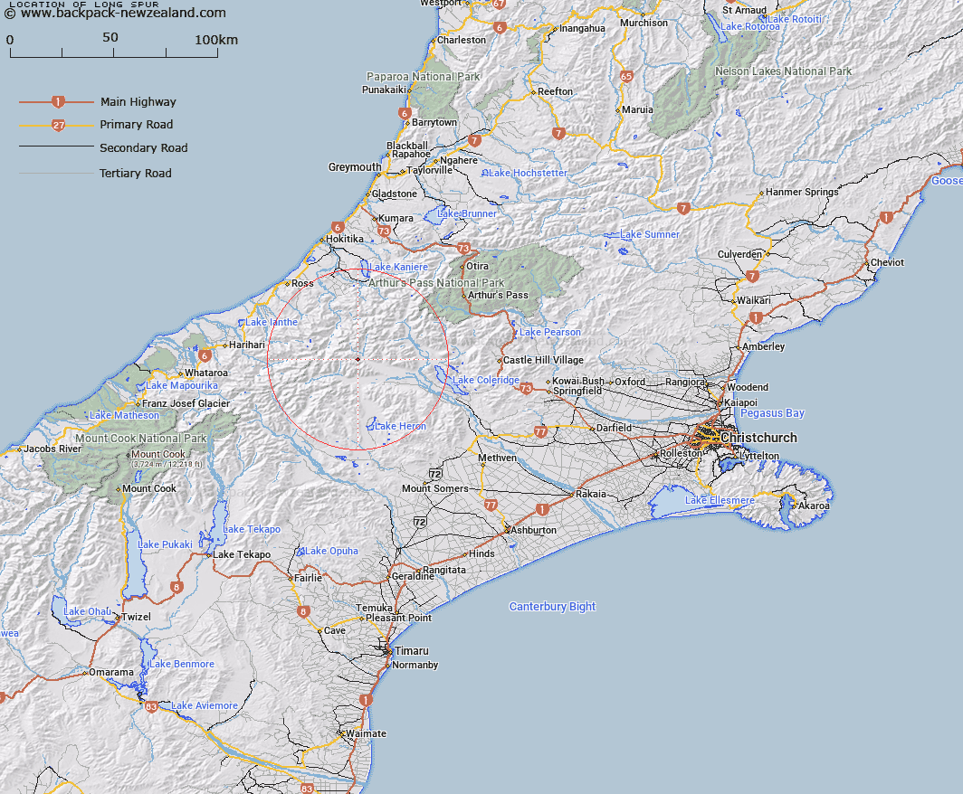
Map showing location of Long Spur


LINZ description: Spur at the eastern end of a ridge running, north of Jerusalem Creek. Owen Survey District.
Latitude: -43.204583
Longitude: 171.117571
Northing: 5214746
Easting: 1447074.6
Land District: Canterbury
Feat Type: Ridge


Scroll down to see a more detailed road map and below that a topographical map showing the location of Long Spur. The road map has been supplied by openstreetmap and the topographical map of Long Spur has been supplied by Land Information New Zealand (LINZ).

Yes you can use the top static map for you school/university project or personal website with a link back. Contact me for any commercial use.

Long Spur Map New Zealand


New Zealand places in our database
[ A ] [ B ] [ C ] [ D ] [ E ] [ F ] [ G ] [ H ] [ I ] [ J ] [ K ] [ L ] [ M ] [ N ] [ O ] [ P ] [ Q ] [ R ] [ S ] [ T ] [ U ] [ V ] [ W ] [ X ] [ Y ] [ Z ]


Closest 20 Ridges to Long Spur

Golden Spur ( 10.18km )   Mazda Spur ( 12.08km )   Katzenbach Ridge ( 12.3km )   Treachery Ridge ( 12.45km )   Pahlow Ridge ( 13.78km )   Cropp Brow ( 16.18km )   Conway Ridge ( 16.88km )   Homeward Ridge ( 17.25km )   Steadman Brow ( 17.53km )   Brunswick Ridge ( 17.92km )   Misty Ridge ( 20.55km )   Whirlwind Spur ( 20.59km )   Sawtooth Ridge ( 20.7km )   Galena Ridge ( 20.79km )   Eliott Ridge ( 20.96km )   Eliot Ridge ( 20.96km )   Crumbling Spur ( 21.37km )   Mikonui Spur ( 22.98km )   Notch Ridge ( 23.42km )   Commodore Ridge ( 23.48km )   Dickie Ridge ( 23.92km )   Dickie Spur ( 23.92km )   Clearview Spur ( 23.97km )   Knobby Ridge ( 24.48km )   Cabot Ridge ( 24.7km )   Carl Spur ( 25.32km )   Yeats Ridge ( 25.71km )   Miserable Ridge ( 25.85km )   Adventure Ridge ( 26.23km )   Gerhardt Spur ( 26.23km )   Max Spur ( 26.76km )   Harold Spur ( 27.44km )   Chink Ridge ( 27.93km )   Scramble Spur ( 28.31km )   Petrologist Ridge ( 28.61km )   The Spurs ( 28.64km )   Headlong Spur ( 28.68km )   Harker Spur ( 28.8km )   Swandri Spur ( 28.97km )   Peter Spur ( 29.07km )