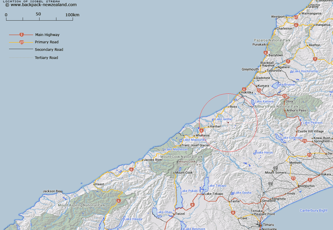
Map showing location of Isobel Stream
LINZ description: Left Bank tributary of Kakapotahi River rising North of Mount Hitchen in the Hitchen Range, flowing northward to the upper Kakapotahi River, downstream of Ken Torrent. Block II, Whitcombe Pass Survey District
Latitude: -43.095999
Longitude: 170.813998
Northing: 5226205.4
Easting: 1422097.3
Land District: Westland
Feat Type: Stream
Latitude: -43.095999
Longitude: 170.813998
Northing: 5226205.4
Easting: 1422097.3
Land District: Westland
Feat Type: Stream

Scroll down to see a more detailed road map and below that a topographical map showing the location of Isobel Stream. The road map has been supplied by openstreetmap and the topographical map of Isobel Stream has been supplied by Land Information New Zealand (LINZ).
Yes you can use the top static map for you school/university project or personal website with a link back. Contact me for any commercial use.
[ A ] [ B ] [ C ] [ D ] [ E ] [ F ] [ G ] [ H ] [ I ] [ J ] [ K ] [ L ] [ M ] [ N ] [ O ] [ P ] [ Q ] [ R ] [ S ] [ T ] [ U ] [ V ] [ W ] [ X ] [ Y ] [ Z ]