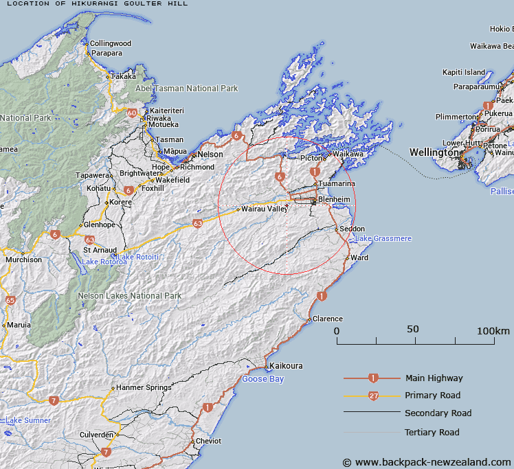
Map showing location of Hikurangi / Goulter Hill


LINZ description: A hill at 173 m on a ridge separating Mill Stream and Omaka River approximately 4 km southwest of Renwick. NZTopo50-BR28 669007.
Latitude: -41.542731
Longitude: 173.802243
Northing: 5400681.1
Easting: 1666913.7
Land District: Marlborough
Feat Type: Hill


Scroll down to see a more detailed road map and below that a topographical map showing the location of Hikurangi / Goulter Hill. The road map has been supplied by openstreetmap and the topographical map of Hikurangi / Goulter Hill has been supplied by Land Information New Zealand (LINZ).

Yes you can use the top static map for you school/university project or personal website with a link back. Contact me for any commercial use.

Hikurangi / Goulter Hill Map New Zealand


New Zealand places in our database
[ A ] [ B ] [ C ] [ D ] [ E ] [ F ] [ G ] [ H ] [ I ] [ J ] [ K ] [ L ] [ M ] [ N ] [ O ] [ P ] [ Q ] [ R ] [ S ] [ T ] [ U ] [ V ] [ W ] [ X ] [ Y ] [ Z ]


Closest 20 Hills to Hikurangi / Goulter Hill

Wards Peak ( 11.21km )   Waihopai ( 11.26km )   Sugar Loaf ( 12.07km )   Little Ned ( 13.6km )   The Ned ( 14.98km )   The Pyramid ( 15.97km )   Vinegar Point ( 16.63km )   The Throne ( 17km )   Newport Knob ( 17.05km )   Mount Riley ( 17.17km )   Washpool Hill ( 17.67km )   Mount Sunday ( 18.07km )   Mount Dobson ( 18.46km )   Blairich ( 18.54km )   Mount Baldy ( 19.51km )   Strachan Peak ( 21.9km )   Mount Cullen ( 22.97km )   Lansdowne ( 23.15km )   Altimarloch ( 23.52km )   Mount Royal ( 23.65km )   Mount Horrible ( 24.11km )   Doctors Knob ( 24.22km )   Benhopai ( 24.55km )   Mount Harkness ( 24.61km )   Mount Duncan ( 25.42km )   The William ( 25.74km )   Jamies Knob ( 26.02km )   Star Hill ( 26.26km )   Upton ( 26.5km )   Mount Bradley ( 26.98km )   Mount Fishtail ( 27.76km )   Takorika ( 27.84km )   Mount Olympus ( 28.1km )   Camp Hill ( 28.17km )   Cow Hill ( 28.21km )   Fells Hill ( 28.36km )   Mount Robertson ( 28.38km )   Tokomaru / Mount Robertson ( 28.38km )   Ferny Gair ( 29.3km )   Benbown ( 29.6km )