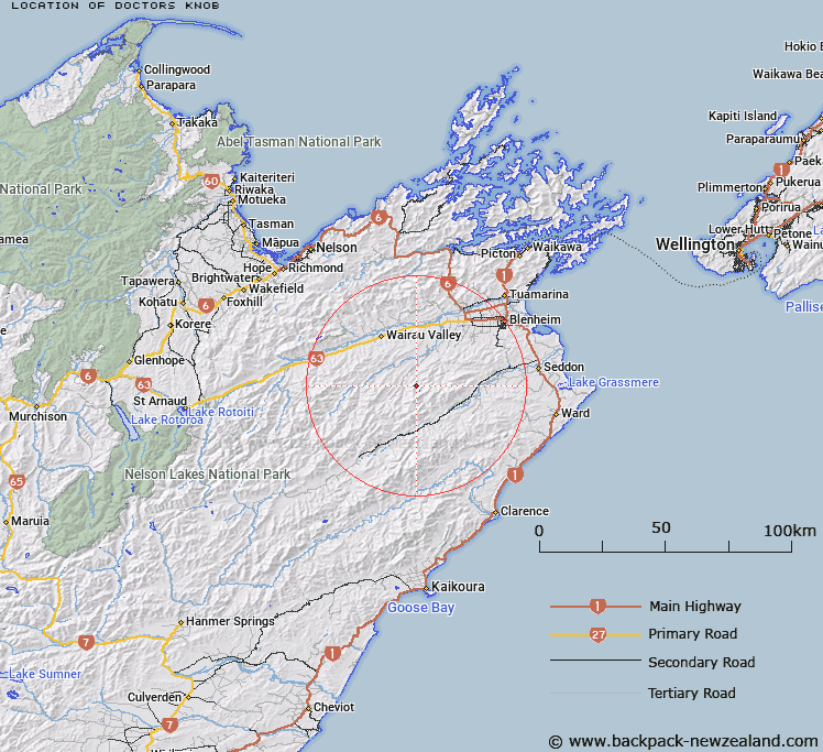
Map showing location of Doctors Knob


LINZ description: High point on ridge between the Tummil and Teme Rivers
Latitude: -41.729534
Longitude: 173.652253
Northing: 5380047
Easting: 1654246.4
Land District: Marlborough
Feat Type: Hill


Scroll down to see a more detailed road map and below that a topographical map showing the location of Doctors Knob. The road map has been supplied by openstreetmap and the topographical map of Doctors Knob has been supplied by Land Information New Zealand (LINZ).

Yes you can use the top static map for you school/university project or personal website with a link back. Contact me for any commercial use.

Doctors Knob Map New Zealand


New Zealand places in our database
[ A ] [ B ] [ C ] [ D ] [ E ] [ F ] [ G ] [ H ] [ I ] [ J ] [ K ] [ L ] [ M ] [ N ] [ O ] [ P ] [ Q ] [ R ] [ S ] [ T ] [ U ] [ V ] [ W ] [ X ] [ Y ] [ Z ]


Closest 20 Hills to Doctors Knob

Ferny Gair ( 5.72km )   Gordons Knob ( 5.78km )   Mount Horrible ( 7.15km )   The Throne ( 7.23km )   Rocky Gill ( 8.4km )   Judy ( 8.46km )   Mount Harkness ( 8.99km )   Jack ( 9.07km )   The Pyramid ( 9.51km )   Reserve Hill ( 9.59km )   Benhopai ( 9.8km )   Glenlee North ( 9.85km )   Mount Hall ( 10.06km )   Glenlee South ( 10.25km )   Altimarloch ( 10.62km )   Cow Hill ( 10.65km )   Big Bolton ( 10.72km )   Mount Patriarch ( 11.09km )   Mount Argelin ( 11.09km )   Mount Alexander ( 11.1km )   Barometer ( 11.21km )   Mount Delight ( 11.33km )   Woody Peak ( 11.92km )   Newport Knob ( 12.12km )   Blairich ( 12.2km )   Horseshoe Hill ( 12.22km )   Snowdon ( 12.5km )   Little Bolton ( 13.05km )   Conical Hill ( 13.13km )   Jacks Brother ( 13.94km )   Mount Abrupt ( 14.09km )   Camp Hill ( 14.1km )   Mount Boltoff ( 14.16km )   Wards Peak ( 15.04km )   Welds Hill ( 15.73km )   Pudding Hill ( 16.12km )   Mount Olympus ( 16.48km )   Glenlee ( 16.87km )   Pudding Hill ( 17.08km )   Wether Hill ( 17.11km )