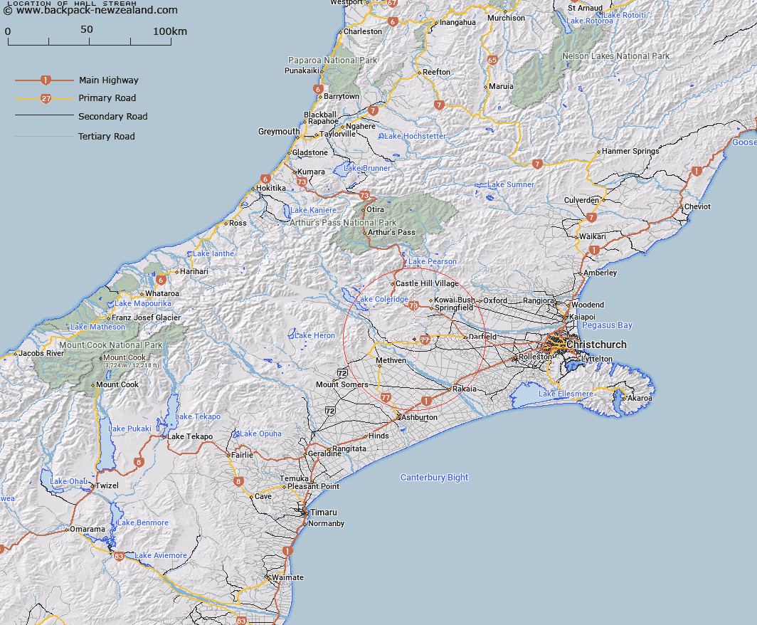
Map showing location of Hall Stream


LINZ description: Right bank tributary of Wairiri Stream flowing South from Yorkies Saddle, and joining Wairiri Stream 1km South-west of Riversleigh Homestead. Block XI Hororata Survey District.
Latitude: -43.494262
Longitude: 171.833943
Northing: 5183635.5
Easting: 1505721.6
Land District: Canterbury
Feat Type: Stream


Scroll down to see a more detailed road map and below that a topographical map showing the location of Hall Stream. The road map has been supplied by openstreetmap and the topographical map of Hall Stream has been supplied by Land Information New Zealand (LINZ).

Yes you can use the top static map for you school/university project or personal website with a link back. Contact me for any commercial use.

Hall Stream Map New Zealand


New Zealand places in our database
[ A ] [ B ] [ C ] [ D ] [ E ] [ F ] [ G ] [ H ] [ I ] [ J ] [ K ] [ L ] [ M ] [ N ] [ O ] [ P ] [ Q ] [ R ] [ S ] [ T ] [ U ] [ V ] [ W ] [ X ] [ Y ] [ Z ]


Closest 20 Streams to Hall Stream

Glendore Stream ( 2.8km )   Hororata River ( 3.78km )   Wairiri Stream ( 4.2km )   Monro Stream ( 4.53km )   Boundary Stream ( 4.79km )   Steventon Stream ( 5.76km )   Rockwood Stream ( 6.11km )   Flagpole Stream ( 6.54km )   Copper Stream No. 2 ( 7.09km )   Copper Stream ( 7.14km )   Washpen Creek ( 7.54km )   Cordys Stream ( 8.83km )   Bush Stream ( 11.72km )   Boundary Stream ( 12.24km )   Selwyn River North Branch ( 13.74km )   Hawkins River ( 14.44km )   Ford Stream ( 14.76km )   Waianiwaniwa River ( 15.28km )   Waireka River ( 15.28km )   Rakaia River ( 15.51km )   Blacks Stream ( 15.57km )   Thirteen Mile Bush Stream ( 16.29km )   Ayrdale Stream ( 18.49km )   Ben More Stream ( 19.63km )   Parker Stream ( 19.82km )   Dry Acheron Stream ( 20.2km )   Dry Creek ( 20.36km )   Rubicon River ( 20.68km )   Macfarlane Stream ( 21.08km )   Kowai River ( 21.96km )   Waimakariri River ( 22.12km )   Coach Stream ( 22.18km )   Acheron River ( 22.33km )   Little Kowai River ( 22.55km )   Little River ( 22.91km )   Foggy Stream ( 24.16km )   Hutt Stream ( 24.21km )   Coleridge Stream ( 24.87km )   Pudding Hill Stream ( 26.17km )   Joyces Stream ( 26.34km )