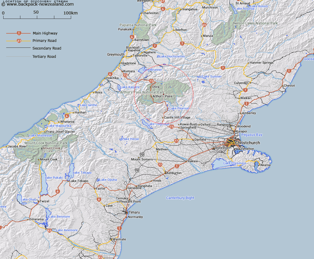
Map showing location of Discovery Stream


LINZ description: Stream rising in the Polar Range, 700m East of Amber Col, and joining Hawdon River 500m downstream of Twin Falls Stream. Block VIII Bealey Survey District.
Latitude: -42.916231
Longitude: 171.725795
Northing: 5247700
Easting: 1496000
Land District: Canterbury
Feat Type: Stream


Scroll down to see a more detailed road map and below that a topographical map showing the location of Discovery Stream. The road map has been supplied by openstreetmap and the topographical map of Discovery Stream has been supplied by Land Information New Zealand (LINZ).

Yes you can use the top static map for you school/university project or personal website with a link back. Contact me for any commercial use.

Discovery Stream Map New Zealand


New Zealand places in our database
[ A ] [ B ] [ C ] [ D ] [ E ] [ F ] [ G ] [ H ] [ I ] [ J ] [ K ] [ L ] [ M ] [ N ] [ O ] [ P ] [ Q ] [ R ] [ S ] [ T ] [ U ] [ V ] [ W ] [ X ] [ Y ] [ Z ]


Closest 20 Streams to Discovery Stream

Twin Fall Stream ( 1.52km )   Hawdon River ( 2.51km )   East Hawdon Stream ( 4km )   Otehake River East Branch ( 4.1km )   Sudden Valley Stream ( 5.78km )   Otehake River West Branch ( 6.41km )   Trudge Stream ( 7km )   Enchanted Stream ( 7.32km )   Pampas Stream ( 7.7km )   Chasm Stream ( 7.97km )   Riversdale Stream ( 8.17km )   East Branch Edwards River ( 8.21km )   Surprise Stream ( 8.41km )   Red Beech Stream ( 8.65km )   Trinity Stream ( 8.93km )   Andrews Stream ( 8.99km )   Good Luck Creek ( 9.1km )   Tawhana Stream ( 9.21km )   Agility Creek ( 9.49km )   Casey Stream ( 9.84km )   Douglas Stream ( 9.89km )   Edwards River ( 10.23km )   Koropuku Creek ( 10.34km )   Doreen Creek ( 10.76km )   Dorreen Creek ( 10.76km )   Whaiti Stream ( 10.77km )   Mingha River ( 10.96km )   Minchin Stream ( 11.24km )   Poulter River ( 11.36km )   Shaffrey Creek ( 11.45km )   Spray Creek ( 11.5km )   Lower Farm Stream ( 11.6km )   Devils Punchbowl Creek ( 11.63km )   Deception River ( 11.78km )   Upper Twin Creek ( 12.28km )   Mount Brown Creek ( 12.56km )   Midday Creek ( 12.58km )   Graham Stream ( 12.72km )   Grasmere Stream ( 12.84km )   Sawmill Stream ( 12.88km )