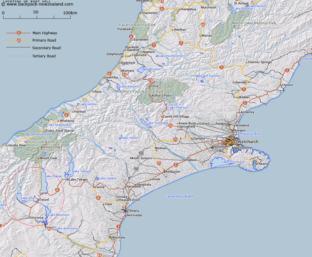
Map showing location of Boat Hill


LINZ description: Hill and site of Trig F 5, east of Fraser Stream. The feature no longer exists.
Latitude: -44.214316
Longitude: 170.0533
Northing: 5100100
Easting: 1364600
Land District: Canterbury
Feat Type: Hill


Scroll down to see a more detailed road map and below that a topographical map showing the location of Boat Hill. The road map has been supplied by openstreetmap and the topographical map of Boat Hill has been supplied by Land Information New Zealand (LINZ).

Yes you can use the top static map for you school/university project or personal website with a link back. Contact me for any commercial use.

Boat Hill Map New Zealand


New Zealand places in our database
[ A ] [ B ] [ C ] [ D ] [ E ] [ F ] [ G ] [ H ] [ I ] [ J ] [ K ] [ L ] [ M ] [ N ] [ O ] [ P ] [ Q ] [ R ] [ S ] [ T ] [ U ] [ V ] [ W ] [ X ] [ Y ] [ Z ]


Closest 20 Hills to Boat Hill

Mount Ostler ( 3.19km )   The Pyramid ( 3.57km )   Ben Ohau ( 12.68km )   The Cairn ( 17.34km )   Backbone Peak ( 17.66km )   Ben Dhu ( 17.84km )   Mount Mary ( 19.74km )   Mackenzies Peak ( 20.16km )   House Hill ( 20.87km )   Sutherlands Peak ( 20.91km )   The Buscot ( 21.09km )   Betty Hill ( 22.12km )   Shingle Hill ( 22.42km )   Mount Maggie ( 22.65km )   Benmore Peak ( 22.79km )   Mount Sutton ( 22.84km )   Ram Hill ( 22.96km )   Mount McDonald ( 23.41km )   Pinnacle ( 23.81km )   Gallows Hill ( 24.16km )   Mount Glen Lyon ( 24.54km )   Ohau Peak ( 25.36km )   Hogget Hill ( 25.36km )   Steeple Peak ( 25.95km )   Kaimakamaka Peaks ( 26.42km )   Bruce Peak ( 26.8km )   Elusive Peak ( 27.13km )   Mount Maitland ( 27.86km )   Belfry Peak ( 28.1km )   Hiwiroa Mount ( 28.47km )   Cloud Hill ( 28.79km )   Temple Peak ( 28.83km )   Rabbiters Peak ( 28.93km )   Mount Peterson ( 29.01km )   Ben Ross ( 29.04km )   Paku Peak ( 29.34km )   Mount Stafford ( 29.43km )   Mount Glenmary ( 29.92km )   Dun Fiunary ( 30.01km )   False Diadem ( 30.2km )