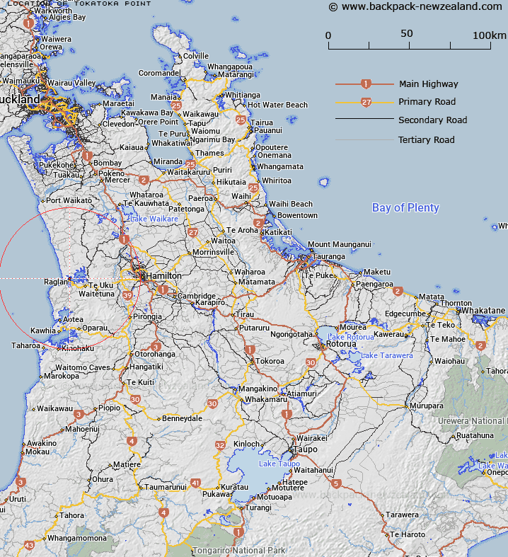
Map showing location of Tokatoka Point


LINZ description: Coastal point in Raglan Harbour opposite Raglan, at the end of the peninsula between Paihere Creek and Patikirau Bay. Block I Karioi Survey District.
Latitude: -37.788457
Longitude: 174.877612
Northing: 5815995.5
Easting: 1765329.2
Land District: South Auckland
Feat Type: Point


Scroll down to see a more detailed road map and below that a topographical map showing the location of Tokatoka Point. The road map has been supplied by openstreetmap and the topographical map of Tokatoka Point has been supplied by Land Information New Zealand (LINZ).

Yes you can use the top static map for you school/university project or personal website with a link back. Contact me for any commercial use.

Tokatoka Point Map New Zealand


New Zealand places in our database
[ A ] [ B ] [ C ] [ D ] [ E ] [ F ] [ G ] [ H ] [ I ] [ J ] [ K ] [ L ] [ M ] [ N ] [ O ] [ P ] [ Q ] [ R ] [ S ] [ T ] [ U ] [ V ] [ W ] [ X ] [ Y ] [ Z ]


Closest 20 Points to Tokatoka Point

Horongarara Point ( 0.58km )   Ann Point ( 0.71km )   Marotaka Point ( 1.3km )   Putoetoe Point ( 1.58km )   Motukokako Point ( 1.9km )   Joys Point ( 2.57km )   Hauraki Point ( 3.12km )   Rangitoto Point ( 3.3km )   Paritata Point ( 3.41km )   Matanawe Point ( 3.73km )   Hawea Point ( 4km )   Te Kaha Point (Mussel Rocks) ( 4.14km )   Te Puna Point ( 4.79km )   Tarangaiwi Point ( 4.79km )   The Finger ( 5.31km )   Pirere Point ( 7.06km )   Te Hara Point ( 7.25km )   Paroa Point ( 7.56km )   Kupapa Point ( 7.58km )   Woody Head ( 13.56km )   Papanui Point ( 15.14km )   Mutawha Point ( 16.89km )   Matawha Point ( 16.89km )   Te Heru Point ( 18.33km )   Mowhiti Point ( 18.38km )   Te Pahi Point ( 18.73km )   Kairere Point ( 18.82km )   Ruaaweke Point ( 19.06km )   Piritoka Point ( 19.14km )   Tikitiki Point ( 19.41km )   Uruwera Point ( 19.81km )   Te Ruatangata Point ( 20.09km )   Kauaakoara Point ( 20.63km )   Te Ruangarara Point ( 21.26km )   Te Arakanohi Point ( 21.59km )   Te Wharemataiti Point ( 21.88km )   Rauiri Head ( 22.31km )   Ohau Point ( 22.4km )   Otehe (Crayfish Point) ( 22.8km )   Ruakoiro Point ( 22.93km )