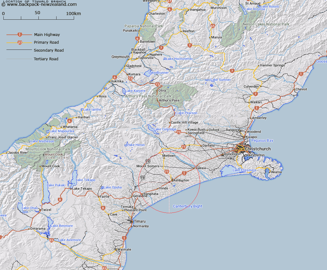
Map showing location of Tinwald Branch


LINZ description: Canterbury Land District, from Tinwald west for less than 1km, NZTopo50 BY21-Ashburton, GR 970 361 to GR 963 360 (NZTM2000: 5136000 N 1496300E; NZGD2000: 43 55 18 S 171 42 30 E).
Latitude: -43.92242
Longitude: 171.711191
Northing: 5135936.4
Easting: 1496536
Land District: Canterbury
Feat Type: Railway Line


Scroll down to see a more detailed road map and below that a topographical map showing the location of Tinwald Branch. The road map has been supplied by openstreetmap and the topographical map of Tinwald Branch has been supplied by Land Information New Zealand (LINZ).

Yes you can use the top static map for you school/university project or personal website with a link back. Contact me for any commercial use.

Tinwald Branch Map New Zealand


New Zealand places in our database
[ A ] [ B ] [ C ] [ D ] [ E ] [ F ] [ G ] [ H ] [ I ] [ J ] [ K ] [ L ] [ M ] [ N ] [ O ] [ P ] [ Q ] [ R ] [ S ] [ T ] [ U ] [ V ] [ W ] [ X ] [ Y ] [ Z ]


Closest 20 Railway Lines to Tinwald Branch

Hornby Branch ( 76.27km )   Hornby Industrial Line ( 76.27km )   Midland Line ( 93.08km )   Midland Railway ( 93.08km )   Wilsons Siding ( 94.79km )   Clough Cableway ( 109.87km )   Weka Pass Railway ( 128.72km )   Kurow Branch Railway ( 130.24km )   Waiareka Industrial Railway ( 143.48km )   Waiareka Industrial Line ( 143.48km )   Hokitika Line ( 159.74km )   Greymouth - Hokitika Railway ( 159.74km )   Greymouth - Ross Railway ( 159.74km )   Hokitika Industrial Line ( 159.74km )   Main South Line ( 161.39km )   Main South Railway ( 161.39km )   Rapahoe Branch Railway ( 171.97km )   Rapahoe Branch ( 171.97km )   Rapahoe Industrial Line ( 171.97km )   Rapahoe Branch Railway ( 171.97km )   Rewanui Branch Railway ( 174.01km )   Otago Central Branch Railway ( 184.93km )   Makareao Branch Railway ( 185.43km )   Inch Valley Branch Railway ( 185.43km )   Makareao Industrial Railway ( 187.91km )   Stillwater - Westport Line ( 205.42km )   Stillwater-Ng?kawau Line ( 205.42km )   Stillwater - Westport Railway ( 205.42km )   Ngakawau Branch ( 205.42km )   Stillwater - Westport Line ( 205.42km )   Main North Railway ( 213.95km )   Main North Line ( 213.95km )   Taieri Gorge Railway ( 223.2km )   Port Chalmers Industrial Line ( 224.81km )   Port Chalmers Branch Railway ( 224.81km )   Port Chalmers Branch ( 224.81km )   Taieri Branch ( 239.74km )   Koranui Incline ( 244.83km )   Seddonville Branch Railway ( 263.5km )   Ngakawau Branch Railway ( 263.5km )