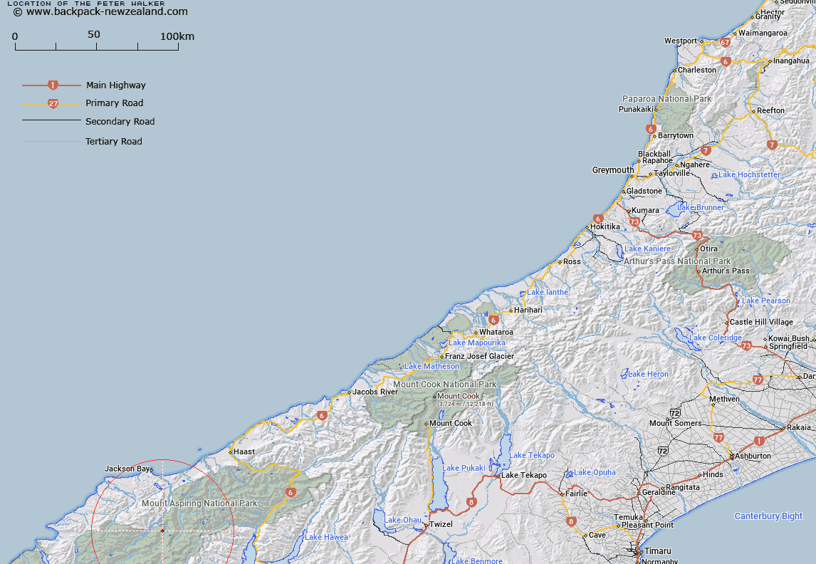
Map showing location of The Peter Walker


LINZ description: Feature shown on: NZMS260 E39 Edition 1 1994 Limited Revision 1996
Latitude: -44.28775
Longitude: 168.676111
Northing: 5087068.1
Easting: 1255007.4
Land District: Westland
Feat Type: Stream


Scroll down to see a more detailed road map and below that a topographical map showing the location of The Peter Walker. The road map has been supplied by openstreetmap and the topographical map of The Peter Walker has been supplied by Land Information New Zealand (LINZ).

Yes you can use the top static map for you school/university project or personal website with a link back. Contact me for any commercial use.
The Peter Walker Map New Zealand


New Zealand places in our database
[ A ] [ B ] [ C ] [ D ] [ E ] [ F ] [ G ] [ H ] [ I ] [ J ] [ K ] [ L ] [ M ] [ N ] [ O ] [ P ] [ Q ] [ R ] [ S ] [ T ] [ U ] [ V ] [ W ] [ X ] [ Y ] [ Z ]


Closest 20 Streams to The Peter Walker

The Peter Walker ( 0km )   The Common Sailor ( 0.83km )   Ratlin Water ( 1.35km )   The Second Mate ( 2.13km )   The Larry Bell ( 2.43km )   The Cabin Boy ( 2.7km )   Saddle Creek ( 2.81km )   Butland Creek ( 2.83km )   Campbell Creek ( 3.37km )   Engineer Creek ( 3.48km )   Pommel Creek ( 3.62km )   Waipara River ( 3.68km )   Snowden Creek ( 3.97km )   Nob Creek ( 4.13km )   The Third Mate ( 4.5km )   Bilge Water ( 4.75km )   Sutherland Creek ( 4.83km )   Cargo Creek ( 4.89km )   Bun Tuck Creek ( 5.34km )   Tar Pot Creek ( 5.34km )   The Rudder ( 5.6km )   Moore Creek ( 6.07km )   The Cook ( 6.08km )   The Grease Pot ( 6.23km )   Slate Creek ( 6.72km )   The Splasher ( 6.77km )   McIntosh Creek ( 6.78km )   Seething Stream ( 7.07km )   Top Creek ( 7.24km )   Astrologer Creek ( 7.47km )   The Stoker ( 7.51km )   Lonesome Creek ( 7.53km )   The Funnel ( 7.75km )   Idle Rivulet ( 7.9km )   Graham River ( 8.21km )   The Fireman ( 8.43km )   Clarke Creek ( 8.48km )   The Binnacle ( 8.51km )   Fingals Creek ( 8.59km )   Cat O'Nine Tails ( 8.63km )